Transport Functions
Port
Road
Hub Profile
Region
39
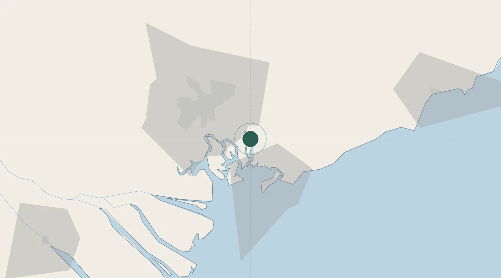
Location
Nearby Logistics Neighbours
Cities
- 1Go Dau B Terminal4 km
- 2Saigon ITV/Phu My6 km
- 3Cai Mep13 km
- 4Vung Tau14 km
- 5Cai Mep International Terminal15 km
Ports
- 1Phu My8 km
- 2Cat Lai28 km
- 3Thanh Hoa33 km
- 4Thanh Ho Chi Minh35 km
- 5Vung Tau38 km
Airports
Trade Zones
DatabookThe Record of Consolidated Knowledge
Vietnam beyond logistics?