Transport Functions
Port
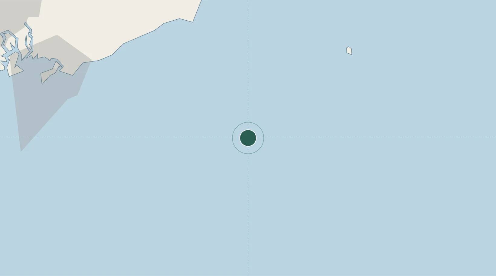
Location
Nearby Logistics Neighbours
Cities
- 1Bach Ho41 km
- 2Su Tu Den47 km
- 3Dong Xuyen Port142 km
- 4Cai Mep155 km
- 5Vung Tau155 km
Ports
- 1Vung Tau143 km
- 2Phu My156 km
- 3Cat Lai189 km
- 4Thanh Hoa194 km
- 5Thanh Ho Chi Minh196 km
Airports
Trade Zones
- 1Phan Thiet 2 Industrial Zone109 km
- 2Phu Tai Industrial Zone109 km
- 3Phan Thiet 1 Industrial Zone109 km
- 4Ham Kiem Industrial Zone110 km
- 5Dong Xuyen Industrial Zone141 km
DatabookThe Record of Consolidated Knowledge
Vietnam beyond logistics?