Transport Functions
Port
Hub Profile
Region
GX
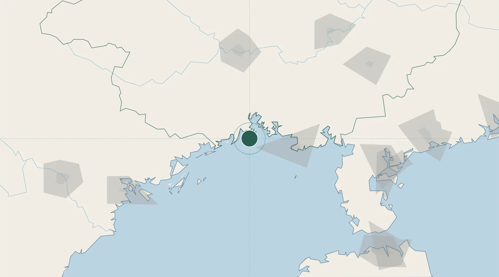
Location
Nearby Logistics Neighbours
Cities
- 1Fangcheng Pt13 km
- 2Jiangshan Pt21 km
- 3Dongxing51 km
- 4Beihai Pt69 km
- 5Beihai77 km
Ports
- 1Qinzhou21 km
- 2Fang-Cheng22 km
- 3Beihai63 km
- 4Cam Pha129 km
- 5Hon Gai161 km
Airports
- 1Beihai Fucheng Airport86 km
- 2Nanning Wuxu International Airport117 km
- 3Van Don International Airport120 km
- 4Baihe Ningming Air Base151 km
- 5Suixi Air Base181 km
DatabookThe Record of Consolidated Knowledge
China beyond logistics?