Transport Functions
Port
Road
Border Crossing
Hub Profile
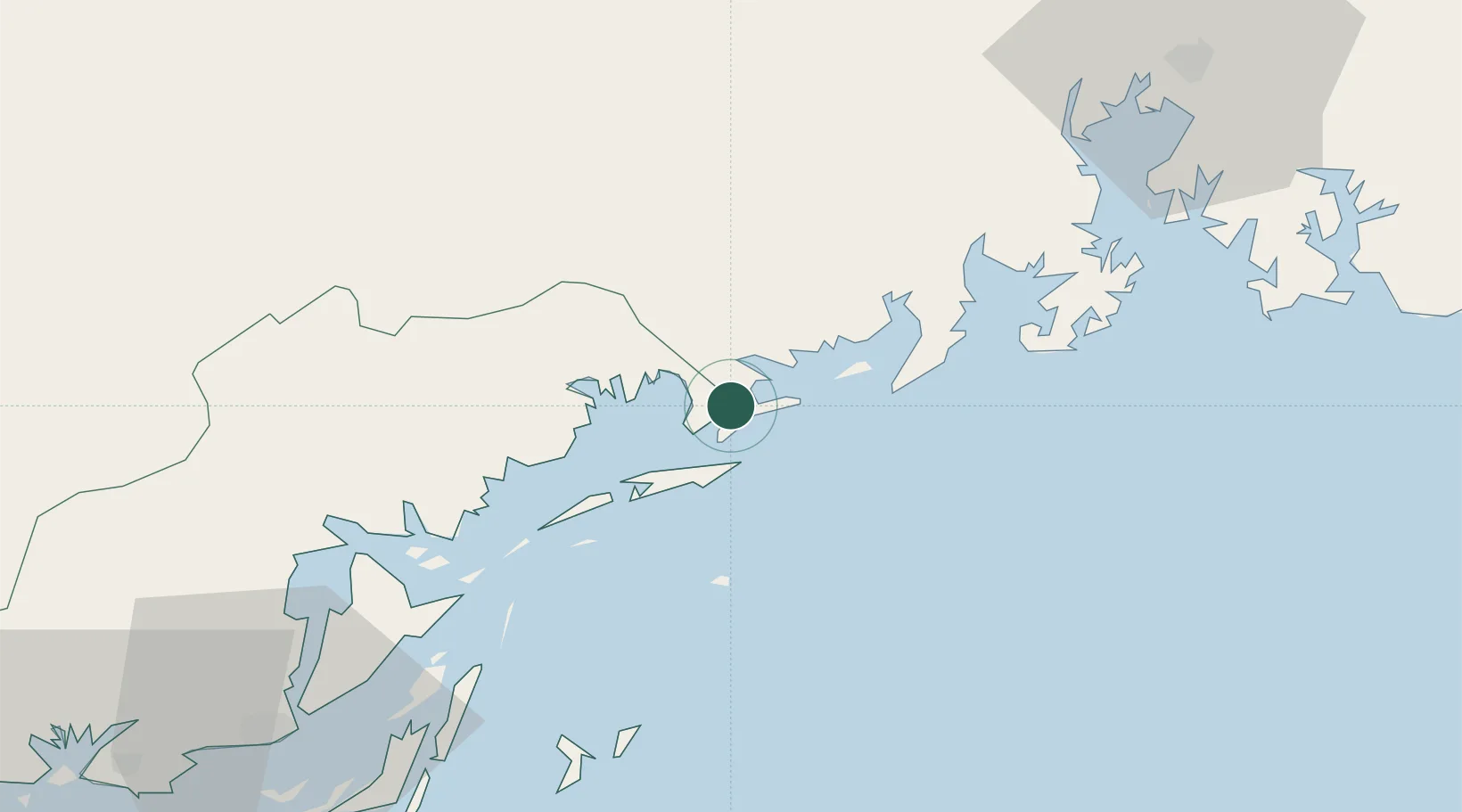
Place type
Populated place
Region
Guangxi
Population
88,607
Time zone
Asia/Shanghai
Elevation
16 m
Location
Nearby Logistics Neighbours
Cities
- 1Jiangshan Pt34 km
- 2Fangcheng Pt40 km
- 3Qisha Pt51 km
- 4Ha Long112 km
- 5Beihai Pt117 km
Ports
- 1Fang-Cheng48 km
- 2Qinzhou68 km
- 3Cam Pha81 km
- 4Hon Gai112 km
- 5Beihai112 km
Airports
- 1Van Don International Airport71 km
- 2Baihe Ningming Air Base114 km
- 3Nanning Wuxu International Airport126 km
- 4Beihai Fucheng Airport136 km
- 5Cat Bi International Airport150 km
DatabookThe Record of Consolidated Knowledge
China beyond logistics?