UN/LOCODE hub · China
CNFAN

Fangcheng Pt

21.6105°, 108.3444°
1
Transport functions

Transport Functions

Port
Fangcheng Pt is also a profiled seaport →
UN/LOCODE

Hub Profile

Region
GX
GeoNames
Logistics facilities
7
UN/LOCODE

Location

Location of CNFAN
Natural Earth 10m (public domain) · GX · CNFAN · 21.61, 108.34GoogleOSMYandex

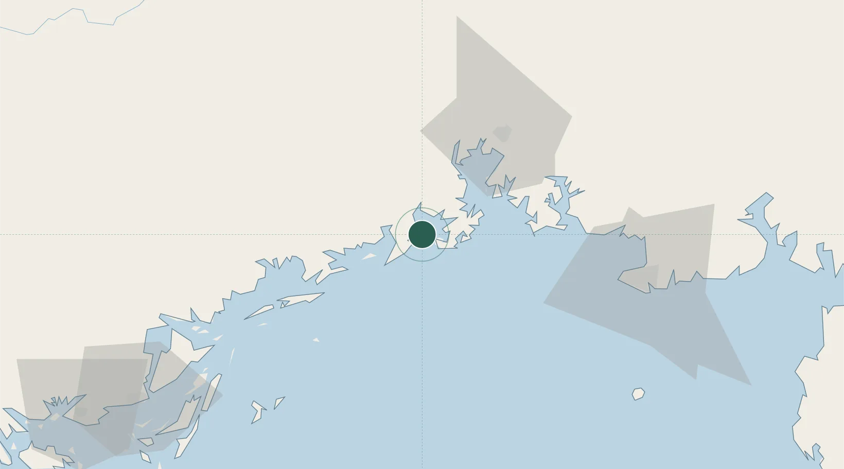
Nearby Logistics Neighbours

Cities
  1. 1Jiangshan Pt8 km
  2. 2Qisha Pt13 km
  3. 3Dongxing40 km
  4. 4Beihai Pt82 km
  5. 5Beihai90 km
Nearest neighbours — logibook spatial index (haversine) over the source coordinates
Ports
  1. 1Qinzhou28 km
  2. 2Beihai76 km
  3. 3Cam Pha120 km
  4. 4Hon Gai151 km
  5. 5Hai Phong189 km
Nearest neighbours — logibook spatial index (haversine) over the source coordinates
Airports
  1. 1Beihai Fucheng Airport99 km
  2. 2Van Don International Airport111 km
  3. 3Nanning Wuxu International Airport111 km
  4. 4Baihe Ningming Air Base138 km
  5. 5Cat Bi International Airport190 km
Nearest neighbours — logibook spatial index (haversine) over the source coordinates
Trade Zones
  1. 1Fangcheng Industrial Park21 km
  2. 2Qinzhou Port Economic Development Zone31 km
  3. 3Qinbei District Economic and Technological Development Zone57 km
  4. 4Hải Hà Seaport Industrial Park69 km
  5. 5Beihai Export Processing Zone78 km
Nearest neighbours — logibook spatial index (haversine) over the source coordinates
DatabookThe Record of Consolidated Knowledge
China beyond logistics?
Browse databook

All Sources

LocationsUN/LOCODE
UN/LOCODE — free
Portsthe NGA World Port Index
Public domain (US gov)
AirportsOurAirports
Public domain
Trade Zonesthe World Bank SEZ database
CC BY 4.0
Trade ZonesOpen Zone Map
CC BY
← China locations