Diversified Zone · Vietnam

Thuan Thanh 2 Industrial Zone Active
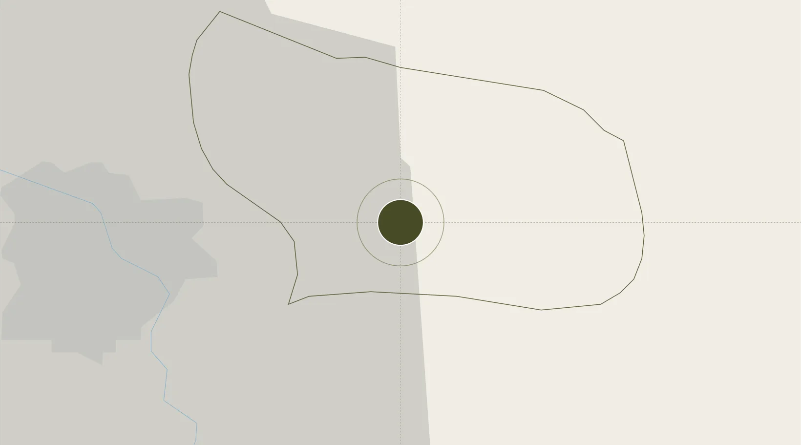
21.0626°, 106.1030°
252 ha
Zone area
62.4 km
Nearest port
22.7 km
Nearest airport

Gateway access

Nearest neighbours — logibook spatial index (haversine) over the source coordinates

Zone profile

Zone type
Diversified Zone
Open Zone Map
Region
Bắc Ninh
Open Zone Map
Status
Active
Open Zone Map
Management
Public-Private Partnership
Open Zone Map
Operator
Bac Ninh Industrial Zones Authority, Shun Far Land Deverlopment Co.,Ltd.
Open Zone Map
Legal framework
Decree No.82/2018/ND-CP on Management of Industrial Parks and Economic Zones, Decree No 218/2013/ND-CP
Open Zone Map

Location

Location of ozm-5107
Natural Earth 10m (public domain) · Bắc Ninh · ozm-5107 · 21.06, 106.10GoogleOSMYandex

Nearby Logistics Neighbours

Ports
  1. 1Hai Phong62 km
  2. 2Hon Gai101 km
  3. 3Cam Pha131 km
  4. 4Fang-Cheng245 km
  5. 5Nghe Tinh258 km
Nearest neighbours — logibook spatial index (haversine) over the source coordinates
Airports
  1. 1Gia Lam Air Base23 km
  2. 2Noi Bai International Airport35 km
  3. 3Cat Bi International Airport70 km
  4. 4Van Don International Airport136 km
  5. 5Tho Xuan Airport145 km
Nearest neighbours — logibook spatial index (haversine) over the source coordinates
Cities
  1. 1Luong Tai11 km
  2. 2Hanoi13 km
  3. 3Gia Lam40 km
  4. 4Hoa Mac49 km
  5. 5Vat Cach55 km
Nearest neighbours — logibook spatial index (haversine) over the source coordinates
Trade Zones
  1. 1Thuan Thanh Industrial Estate1 km
  2. 2Thuan Thanh 3 Industrial Zone5 km
  3. 3Gia Bình 1 Industrial Park6 km
  4. 4Que Vo 1 Expansion Industrial Zone9 km
  5. 5Nam Son-Hap Linh Industrial Estate9 km
Nearest neighbours — logibook spatial index (haversine) over the source coordinates
DatabookThe Record of Consolidated Knowledge
Vietnam beyond logistics?
Browse databook

All Sources

Trade ZonesOpen Zone Map
CC BY
Portsthe NGA World Port Index
Public domain (US gov)
AirportsOurAirports
Public domain
LocationsUN/LOCODE
UN/LOCODE — free
← Vietnam trade zones