Transport Functions
Rail
Road
Hub Profile
Place type
Populated place
Region
Texas
Population
2,744
Time zone
America/Chicago
Elevation
114 m
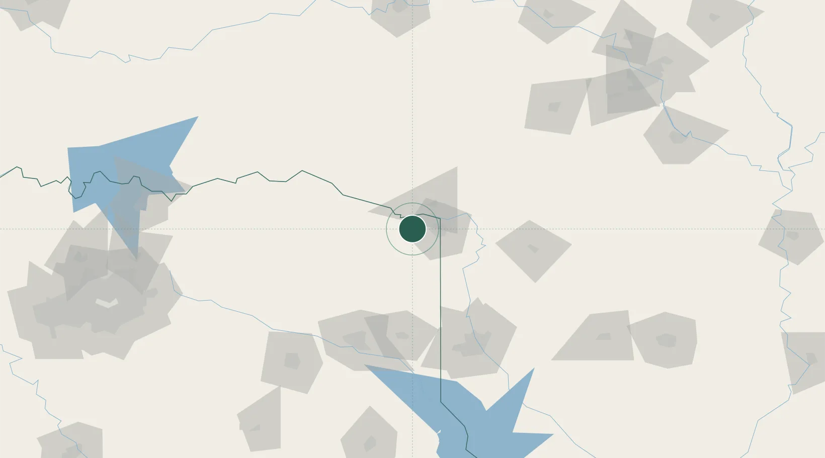
Location
Nearby Logistics Neighbours
Cities
- 1Nash14 km
- 2Panhandle, Cass29 km
- 3De Kalb30 km
- 4Queen City39 km
- 5Atlanta43 km
Ports
- 1Lake Charles374 km
- 2Beaumont377 km
- 3Orange380 km
- 4Port Neches387 km
- 5Port Arthur405 km
Airports
- 1Texarkana Regional Airport (Webb Field)27 km
- 2Cox Field110 km
- 3Shreveport Regional Airport121 km
- 4Barksdale Air Force Base122 km
- 5East Texas Regional Airport127 km
Trade Zones
- 1FTZ No. 258 Bowie County36 km
- 2FTZ No. 145 Shreveport116 km
- 3FTZ No. 146 Lawrence County116 km
- 4FTZ No. 234 Gregg County122 km
- 5FTZ No. 227 Durant204 km
DatabookThe Record of Consolidated Knowledge
United States beyond logistics?