UN/LOCODE hub · United States
USMPS
Mount Pleasant
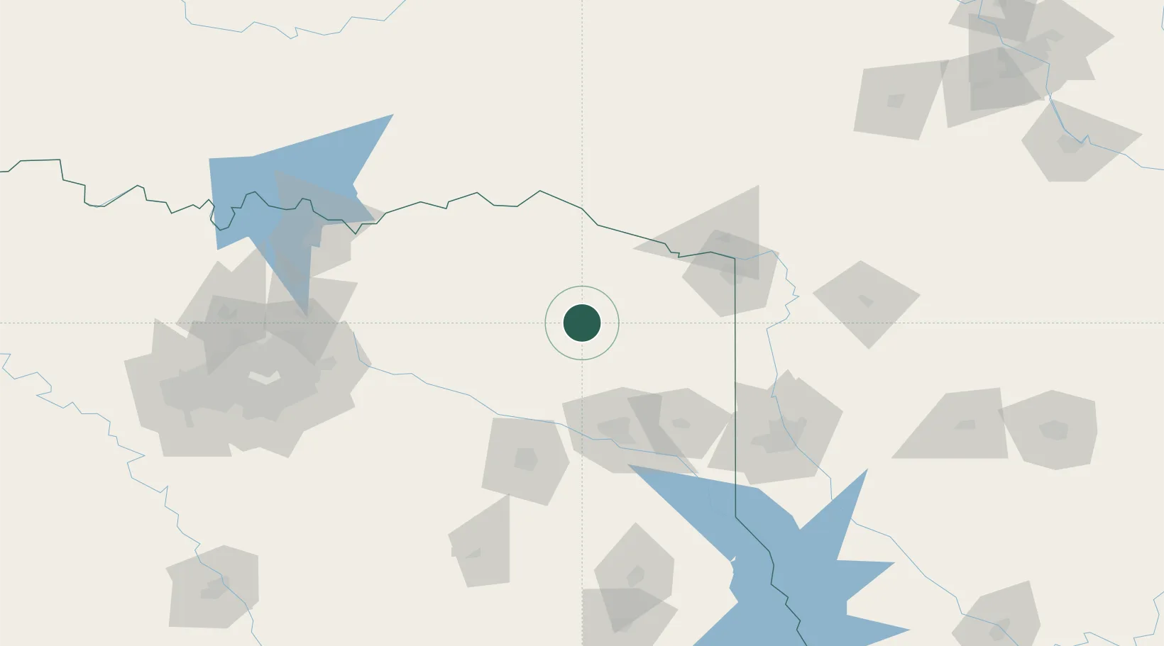
33.1667°, -94.9667°
16,051
Population
3
Transport functions
Transport Functions
Rail
Road
Airport
Hub Profile
Place type
Provincial seat
Region
Texas
Population
16,051
Time zone
America/Chicago
Elevation
123 m
Location
Nearby Logistics Neighbours
Cities
- 1Leesburg23 km
- 2Mount Vernon23 km
- 3Hughes Springs38 km
- 4Webster43 km
- 5Deport50 km
Ports
- 1Beaumont353 km
- 2Orange362 km
- 3Port Neches365 km
- 4Lake Charles366 km
- 5Houston381 km
Airports
Trade Zones
- 1FTZ No. 258 Bowie County44 km
- 2FTZ No. 234 Gregg County73 km
- 3FTZ No. 145 Shreveport123 km
- 4FTZ No. 146 Lawrence County123 km
- 5FTZ No. 269 Athens138 km
DatabookThe Record of Consolidated Knowledge
United States beyond logistics?