UN/LOCODE hub · United States
USPH4

Panhandle, Cass

33.2167°, -94.3500°
2
Transport functions

Transport Functions

Road
Multimodal
UN/LOCODE

Hub Profile

Region
TX
GeoNames

Location

Location of USPH4
Natural Earth 10m (public domain) · TX · USPH4 · 33.22, -94.35GoogleOSMYandex

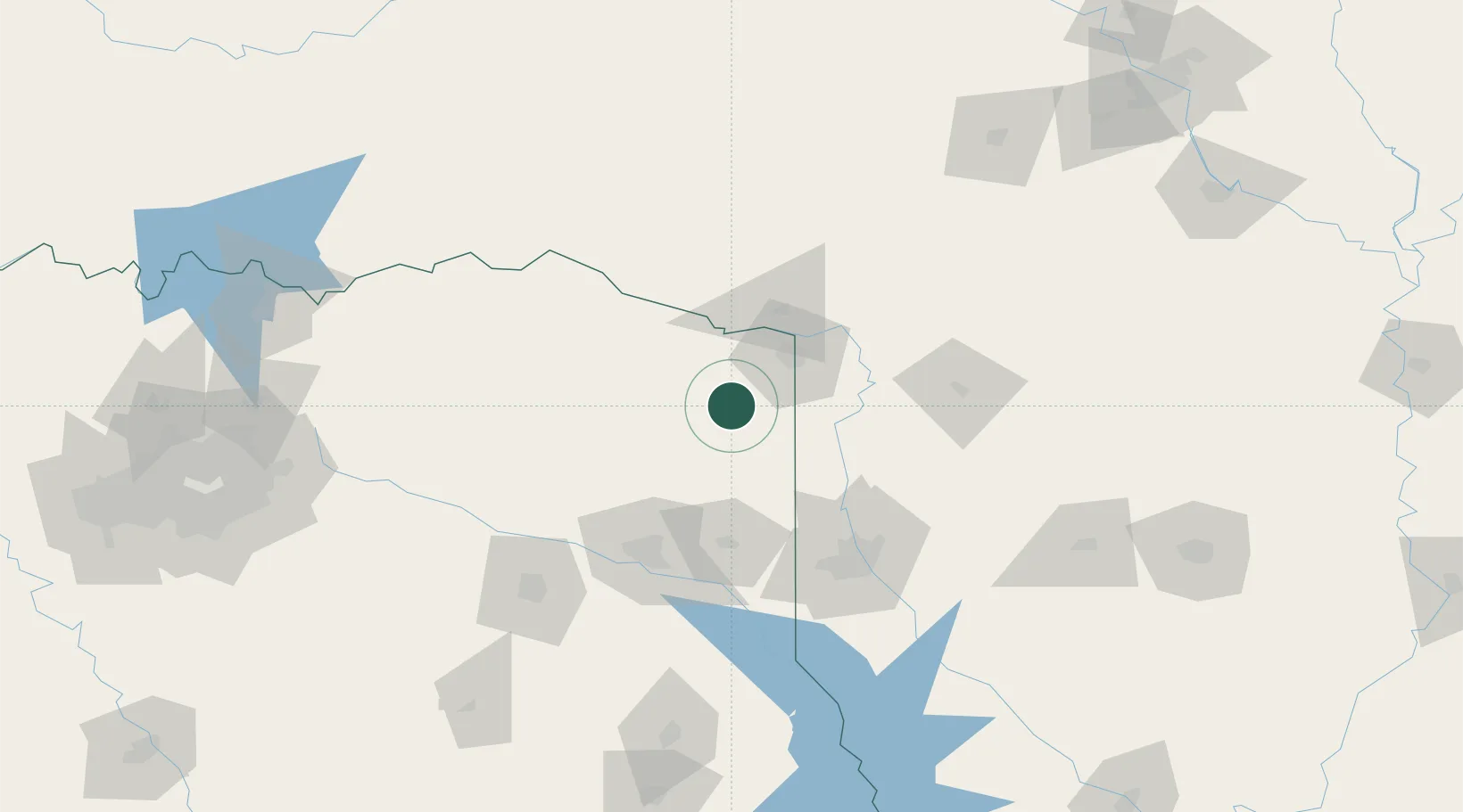
Nearby Logistics Neighbours

Cities
  1. 1Queen City21 km
  2. 2Atlanta23 km
  3. 3Hooks29 km
  4. 4Nash33 km
  5. 5Hughes Springs35 km
Nearest neighbours — logibook spatial index (haversine) over the source coordinates
Ports
  1. 1Beaumont349 km
  2. 2Lake Charles349 km
  3. 3Orange353 km
  4. 4Port Neches360 km
  5. 5Port Arthur378 km
Nearest neighbours — logibook spatial index (haversine) over the source coordinates
Airports
  1. 1Texarkana Regional Airport (Webb Field)43 km
  2. 2East Texas Regional Airport99 km
  3. 3Shreveport Regional Airport99 km
  4. 4Barksdale Air Force Base102 km
  5. 5Cox Field112 km
Nearest neighbours — logibook spatial index (haversine) over the source coordinates
Trade Zones
  1. 1FTZ No. 258 Bowie County42 km
  2. 2FTZ No. 145 Shreveport92 km
  3. 3FTZ No. 146 Lawrence County92 km
  4. 4FTZ No. 234 Gregg County95 km
  5. 5FTZ No. 269 Athens183 km
Nearest neighbours — logibook spatial index (haversine) over the source coordinates
DatabookThe Record of Consolidated Knowledge
United States beyond logistics?
Browse databook

All Sources

LocationsUN/LOCODE
UN/LOCODE — free
Portsthe NGA World Port Index
Public domain (US gov)
AirportsOurAirports
Public domain
Trade Zonesthe World Bank SEZ database
CC BY 4.0
Trade ZonesOpen Zone Map
CC BY
← United States locations