UN/LOCODE hub · United States
USMIV
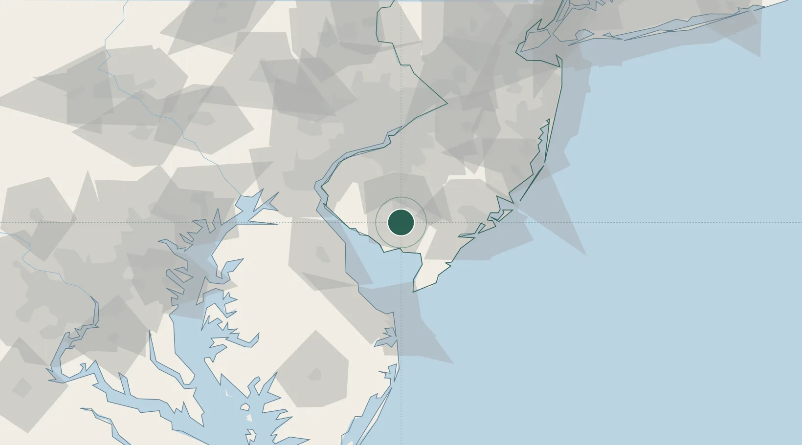
Millville
39.3833°, -75.0333°
28,230
Population
3
Transport functions
Transport Functions
Rail
Road
Airport
Hub Profile
Place type
Populated place
Region
New Jersey
Population
28,230
Time zone
America/New_York
Elevation
12 m
Location
Nearby Logistics Neighbours
Cities
- 1Port Elizabeth11 km
- 2Fairton16 km
- 3Port Norris17 km
- 4Pittsgrove20 km
- 5Deerfield23 km
Ports
- 1Salem Nj50 km
- 2Atlantic City53 km
- 3Deepwater Point54 km
- 4New Castle55 km
- 5Paulsboro55 km
Airports
Trade Zones
- 1FTZ No. 142 Salem Millville8 km
- 2FTZ No. 099 Wilmington59 km
- 3FTZ No. 035 Philadelphia72 km
- 4FTZ No. 200 Mercer County101 km
- 5FTZ No. 235 Lakewood102 km
DatabookThe Record of Consolidated Knowledge
United States beyond logistics?