UN/LOCODE hub · United States
USTGV

Pittsgrove

39.5500°, -75.1167°
2
Transport functions

Transport Functions

Road
Multimodal
UN/LOCODE

Hub Profile

Region
NJ
GeoNames

Location

Location of USTGV
Natural Earth 10m (public domain) · NJ · USTGV · 39.55, -75.12GoogleOSMYandex

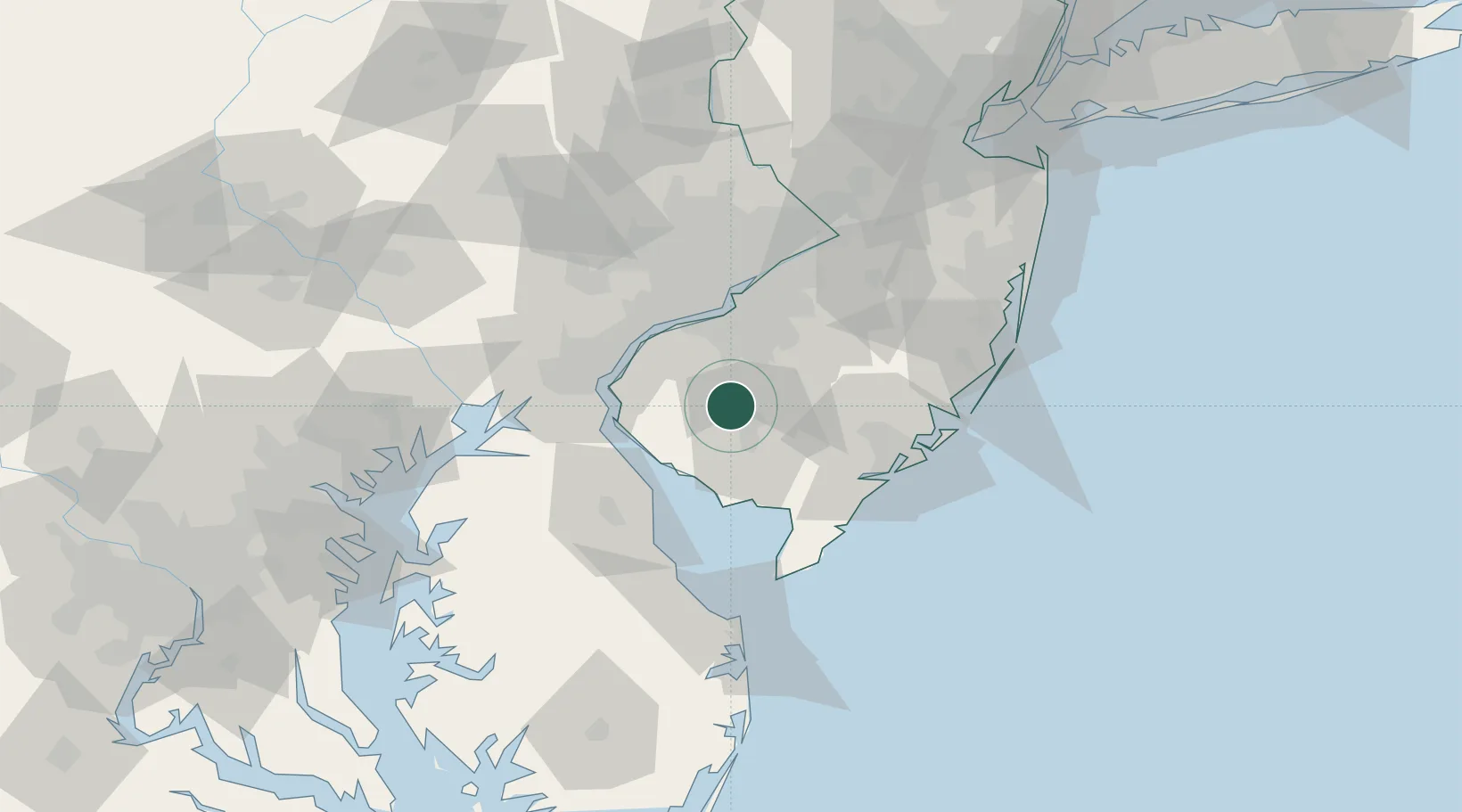
Nearby Logistics Neighbours

Cities
  1. 1Elmer6 km
  2. 2Deerfield11 km
  3. 3Aura13 km
  4. 4Pitman19 km
  5. 5Richwood19 km
Nearest neighbours — logibook spatial index (haversine) over the source coordinates
Ports
  1. 1Salem Nj34 km
  2. 2Paulsboro35 km
  3. 3Deepwater Point38 km
  4. 4Chester39 km
  5. 5Gloucester39 km
Nearest neighbours — logibook spatial index (haversine) over the source coordinates
Airports
  1. 1Millville Municipal Airport21 km
  2. 2Philadelphia International Airport37 km
  3. 3Wilmington Airport44 km
  4. 4Atlantic City International Airport47 km
  5. 5Dover Civil Air Terminal/Dover Air Force Base56 km
Nearest neighbours — logibook spatial index (haversine) over the source coordinates
Trade Zones
  1. 1FTZ No. 142 Salem Millville18 km
  2. 2FTZ No. 099 Wilmington43 km
  3. 3FTZ No. 035 Philadelphia52 km
  4. 4FTZ No. 200 Mercer County84 km
  5. 5FTZ No. 235 Lakewood95 km
Nearest neighbours — logibook spatial index (haversine) over the source coordinates
DatabookThe Record of Consolidated Knowledge
United States beyond logistics?
Browse databook

All Sources

LocationsUN/LOCODE
UN/LOCODE — free
Portsthe NGA World Port Index
Public domain (US gov)
AirportsOurAirports
Public domain
Trade Zonesthe World Bank SEZ database
CC BY 4.0
Trade ZonesOpen Zone Map
CC BY
← United States locations