Transport Functions
Port
Rail
Road
Hub Profile
Place type
Populated place
Region
New Jersey
Time zone
America/New_York
Elevation
4 m
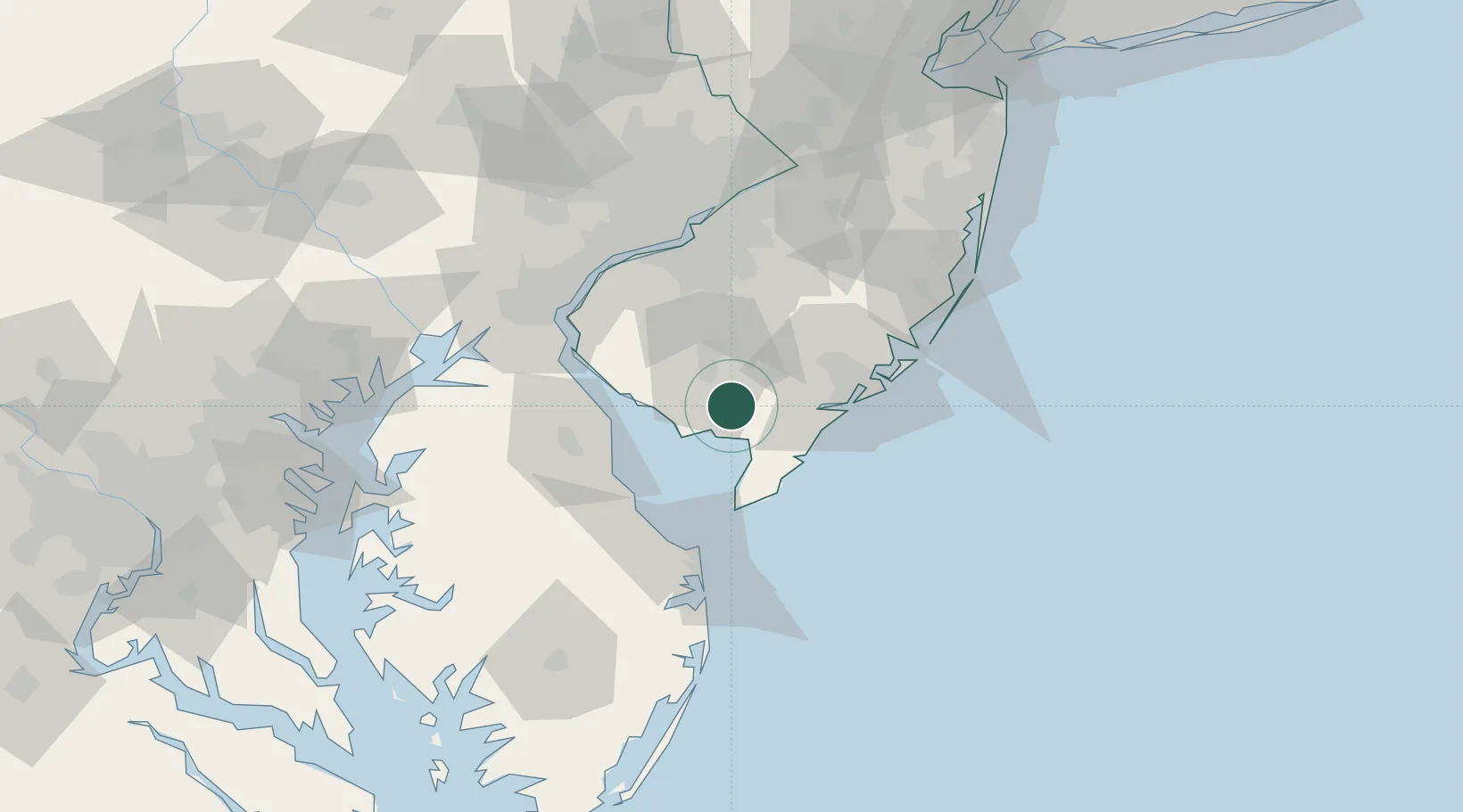
Location
Nearby Logistics Neighbours
Cities
- 1Port Norris9 km
- 2Millville11 km
- 3Dennisville17 km
- 4Fairton23 km
- 5Cape May Court House27 km
Ports
- 1Atlantic City48 km
- 2Salem Nj60 km
- 3New Castle65 km
- 4Deepwater Point65 km
- 5Paulsboro66 km
Airports
Trade Zones
- 1FTZ No. 142 Salem Millville17 km
- 2FTZ No. 099 Wilmington70 km
- 3FTZ No. 035 Philadelphia82 km
- 4FTZ No. 235 Lakewood106 km
- 5FTZ No. 200 Mercer County110 km
DatabookThe Record of Consolidated Knowledge
United States beyond logistics?