UN/LOCODE hub · United States
USYFG

Fort Gratiot

43.0333°, -82.4667°
2
Transport functions

Transport Functions

Road
Multimodal
UN/LOCODE

Hub Profile

Region
MI
GeoNames

Location

Location of USYFG
Natural Earth 10m (public domain) · MI · USYFG · 43.03, -82.47GoogleOSMYandex

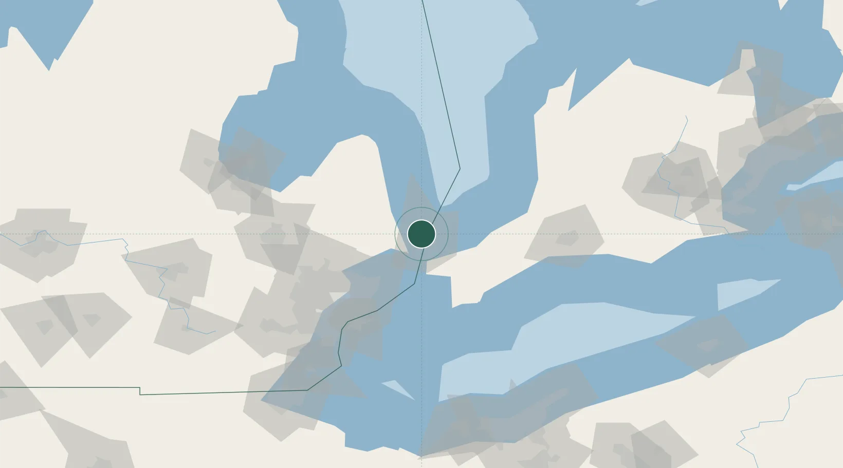
Nearby Logistics Neighbours

Cities
  1. 1Point Edward7 km
  2. 2Port Huron9 km
  3. 3Yale27 km
  4. 4Wyoming30 km
  5. 5Richmond35 km
Nearest neighbours — logibook spatial index (haversine) over the source coordinates
Ports
  1. 1Port Huron5 km
  2. 2Point Edward6 km
  3. 3Sarnia7 km
  4. 4Courtright24 km
  5. 5St Clair24 km
Nearest neighbours — logibook spatial index (haversine) over the source coordinates
Airports
  1. 1Chris Hadfield Airport13 km
  2. 2Selfridge Air National Guard Base Airport56 km
  3. 3Coleman A. Young Municipal Airport82 km
  4. 4Centralia / James T. Field Memorial Aerodrome83 km
  5. 5Oakland County International Airport88 km
Nearest neighbours — logibook spatial index (haversine) over the source coordinates
Trade Zones
  1. 1FTZ No. 210 St. Clair County23 km
  2. 2Windsor - Essex Foreign Trade Zone92 km
  3. 3FTZ No. 070 Detroit99 km
  4. 4FTZ No. 140 Flint106 km
  5. 5FTZ No. 284 Genesee County123 km
Nearest neighbours — logibook spatial index (haversine) over the source coordinates
DatabookThe Record of Consolidated Knowledge
United States beyond logistics?
Browse databook

All Sources

LocationsUN/LOCODE
UN/LOCODE — free
Portsthe NGA World Port Index
Public domain (US gov)
AirportsOurAirports
Public domain
Trade Zonesthe World Bank SEZ database
CC BY 4.0
Trade ZonesOpen Zone Map
CC BY
← United States locations