UN/LOCODE hub · United States
USRCN
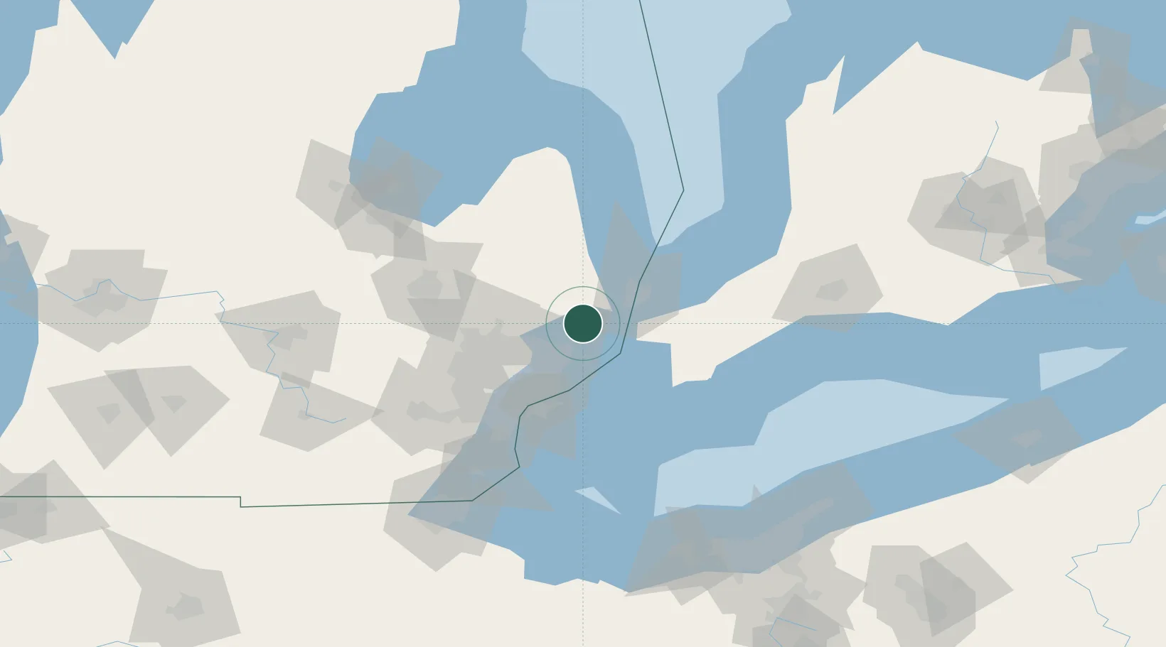
Richmond
42.8000°, -82.7500°
5,864
Population
3
Transport functions
Transport Functions
Rail
Road
Multimodal
Hub Profile
Place type
Populated place
Region
Michigan
Population
5,864
Time zone
America/Detroit
Elevation
223 m
Location
Nearby Logistics Neighbours
Cities
- 1Armada10 km
- 2Cottrellville22 km
- 3Capac26 km
- 4Almont28 km
- 5Port Huron33 km
Ports
- 1St Clair22 km
- 2Courtright23 km
- 3Sombra24 km
- 4Algonac28 km
- 5Sarnia34 km
Airports
Trade Zones
- 1FTZ No. 210 St. Clair County18 km
- 2Windsor - Essex Foreign Trade Zone58 km
- 3FTZ No. 070 Detroit64 km
- 4FTZ No. 140 Flint86 km
- 5FTZ No. 284 Genesee County102 km
DatabookThe Record of Consolidated Knowledge
United States beyond logistics?