UN/LOCODE hub · United States
US2TT

Cottrellville

42.6833°, -82.5333°
2
Transport functions

Transport Functions

Port
Multimodal
UN/LOCODE

Hub Profile

Region
MI
GeoNames

Location

Location of US2TT
Natural Earth 10m (public domain) · MI · US2TT · 42.68, -82.53GoogleOSMYandex

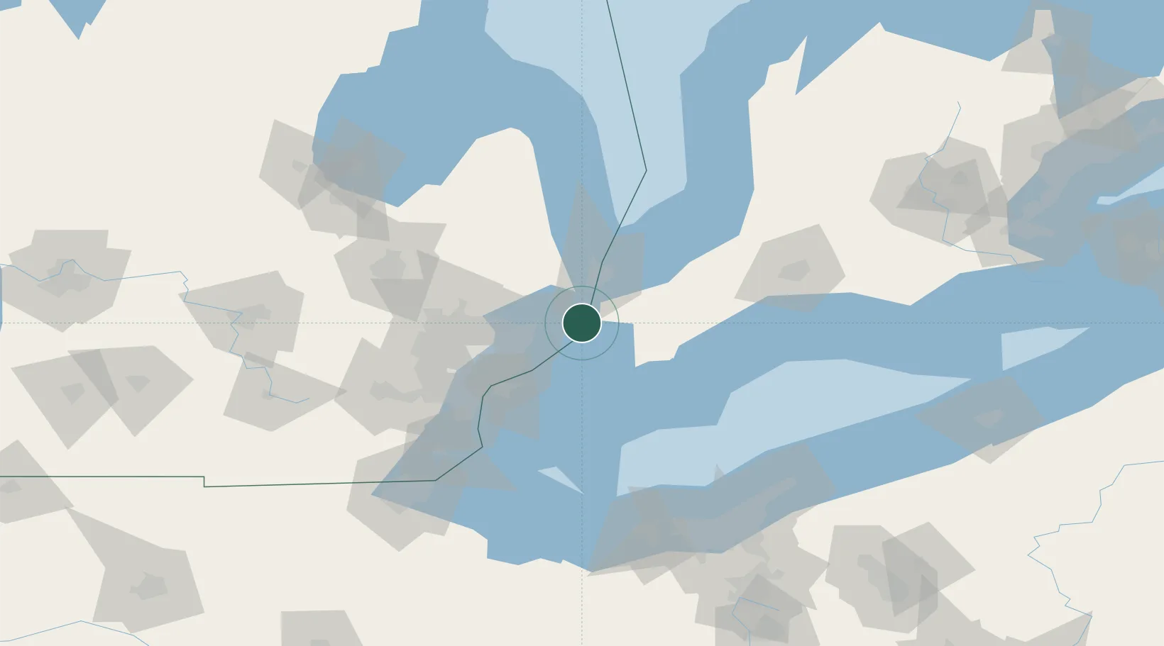
Nearby Logistics Neighbours

Cities
  1. 1Richmond22 km
  2. 2Tupperville25 km
  3. 3Chatham31 km
  4. 4Armada32 km
  5. 5Port Huron33 km
Nearest neighbours — logibook spatial index (haversine) over the source coordinates
Ports
  1. 1Sombra6 km
  2. 2Algonac8 km
  3. 3St Clair15 km
  4. 4Courtright16 km
  5. 5Sarnia35 km
Nearest neighbours — logibook spatial index (haversine) over the source coordinates
Airports
  1. 1Selfridge Air National Guard Base Airport26 km
  2. 2Chris Hadfield Airport40 km
  3. 3Coleman A. Young Municipal Airport50 km
  4. 4Windsor International Airport57 km
  5. 5Oakland County International Airport73 km
Nearest neighbours — logibook spatial index (haversine) over the source coordinates
Trade Zones
  1. 1FTZ No. 210 St. Clair County17 km
  2. 2Windsor - Essex Foreign Trade Zone57 km
  3. 3FTZ No. 070 Detroit69 km
  4. 4FTZ No. 140 Flint107 km
  5. 5FTZ No. 284 Genesee County123 km
Nearest neighbours — logibook spatial index (haversine) over the source coordinates
DatabookThe Record of Consolidated Knowledge
United States beyond logistics?
Browse databook

All Sources

LocationsUN/LOCODE
UN/LOCODE — free
Portsthe NGA World Port Index
Public domain (US gov)
AirportsOurAirports
Public domain
Trade Zonesthe World Bank SEZ database
CC BY 4.0
Trade ZonesOpen Zone Map
CC BY
← United States locations