UN/LOCODE hub · United States
USPHN
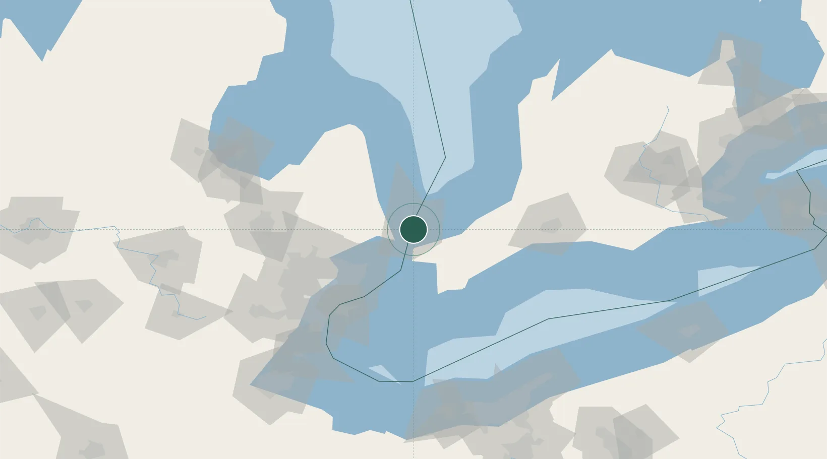
Port Huron
42.9667°, -82.4167°
29,330
Population
2
Transport functions
Transport Functions
Port
Airport
Hub Profile
Place type
Provincial seat
Region
Michigan
Population
29,330
Time zone
America/Detroit
Elevation
184 m
Location
Nearby Logistics Neighbours
Cities
- 1Point Edward4 km
- 2Fort Gratiot9 km
- 3Wyoming25 km
- 4Richmond33 km
- 5Cottrellville33 km
Ports
- 1Sarnia2 km
- 2Point Edward4 km
- 3Courtright17 km
- 4St Clair18 km
- 5Sombra28 km
Airports
Trade Zones
- 1FTZ No. 210 St. Clair County18 km
- 2Windsor - Essex Foreign Trade Zone88 km
- 3FTZ No. 070 Detroit96 km
- 4FTZ No. 140 Flint110 km
- 5FTZ No. 284 Genesee County127 km
DatabookThe Record of Consolidated Knowledge
United States beyond logistics?