Transport Functions
Port
Rail
Road
Multimodal
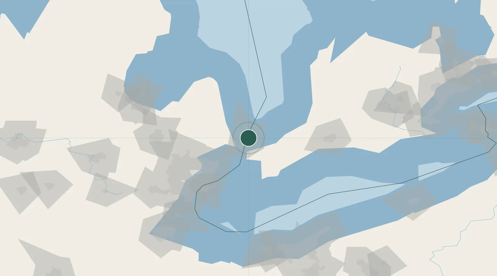
Hub Profile
Place type
Populated place
Region
Ontario
Time zone
America/Toronto
Elevation
184 m
Location
Nearby Logistics Neighbours
Cities
- 1Port Huron4 km
- 2Fort Gratiot7 km
- 3Wyoming24 km
- 4Yale34 km
- 5Forest34 km
Ports
- 1Sarnia2 km
- 2Port Huron3 km
- 3Courtright21 km
- 4St Clair22 km
- 5Sombra32 km
Airports
Trade Zones
- 1FTZ No. 210 St. Clair County21 km
- 2Windsor - Essex Foreign Trade Zone92 km
- 3FTZ No. 070 Detroit99 km
- 4FTZ No. 140 Flint111 km
- 5FTZ No. 284 Genesee County128 km
DatabookThe Record of Consolidated Knowledge
Canada beyond logistics?