UN/LOCODE hub · United States
USCH2
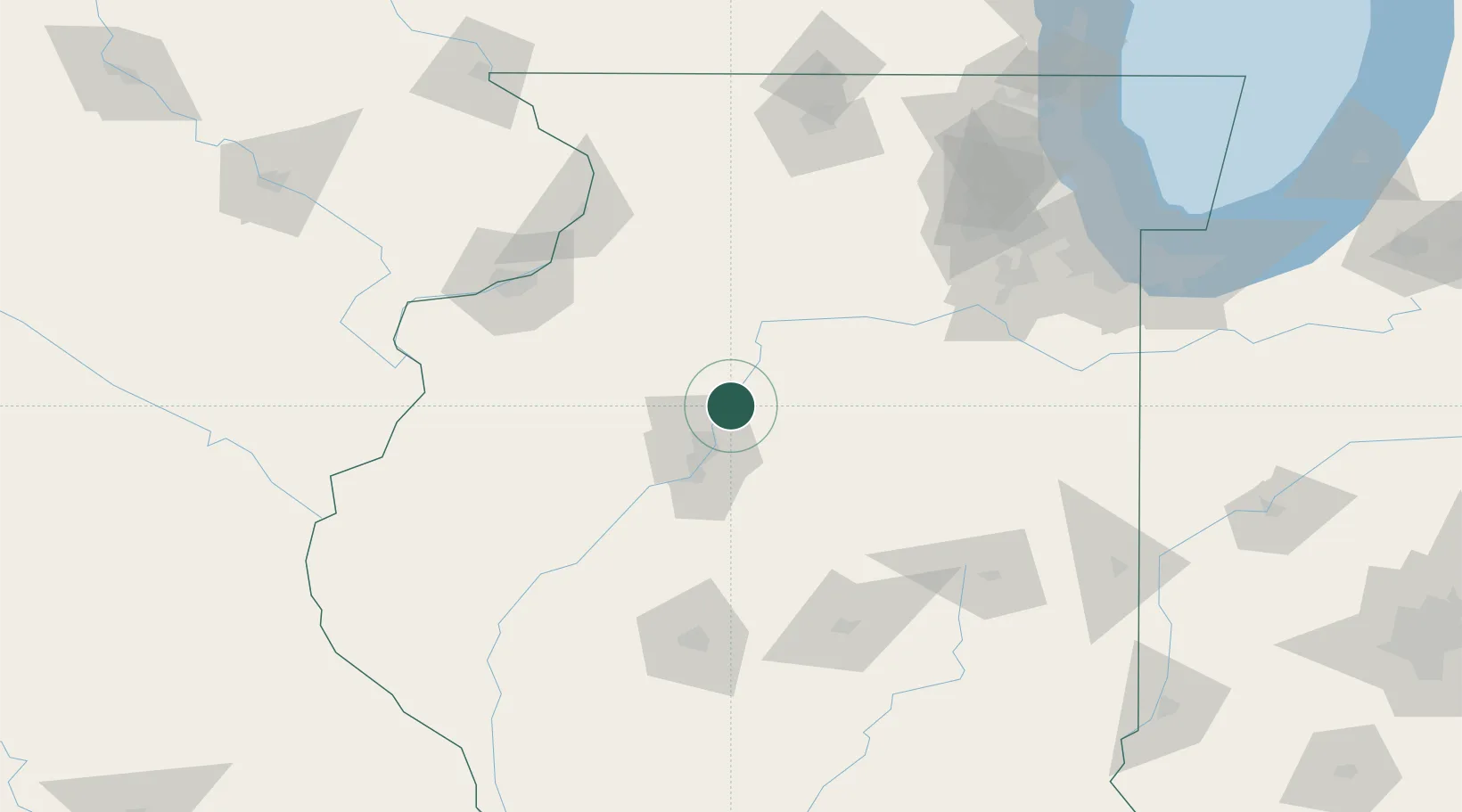
Chillicothe
40.9167°, -89.4833°
6,226
Population
2
Transport functions
Transport Functions
Rail
Road
Hub Profile
Place type
Populated place
Region
Illinois
Population
6,226
Time zone
America/Chicago
Elevation
153 m
Location
Nearby Logistics Neighbours
Cities
- 1Washburn17 km
- 2Metamora19 km
- 3Peoria Heights22 km
- 4Princeville23 km
- 5Washington25 km
Ports
- 1Calumet Harbor188 km
- 2Chicago190 km
- 3Indiana Harbor191 km
- 4Gary196 km
- 5Wilmette198 km
Airports
Trade Zones
- 1FTZ No. 114 Peoria26 km
- 2FTZ No. 245 Decatur123 km
- 3FTZ No. 055 Burlington137 km
- 4FTZ No. 176 Rockford150 km
- 5FTZ No. 271 Jo-Daviess and Carroll Counties168 km
DatabookThe Record of Consolidated Knowledge
United States beyond logistics?