UN/LOCODE hub · United States
USEOA
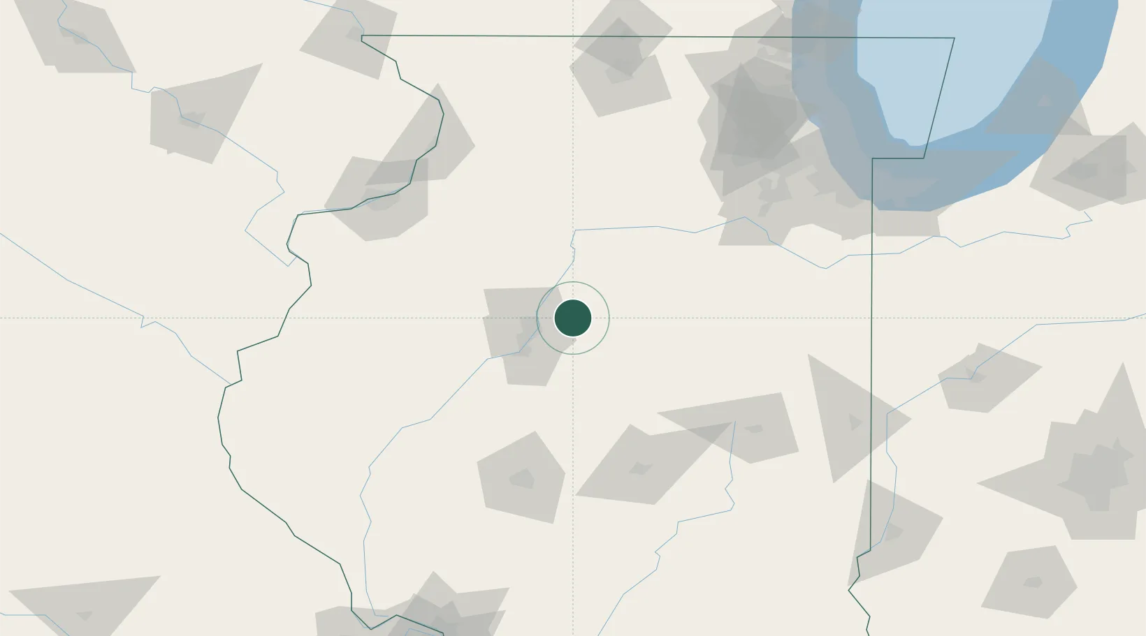
Metamora
40.7833°, -89.3500°
3,734
Population
3
Transport functions
Transport Functions
Rail
Road
Multimodal
Hub Profile
Place type
Populated place
Region
Illinois
Population
3,734
Time zone
America/Chicago
Elevation
249 m
Location
Nearby Logistics Neighbours
Cities
- 1Washington10 km
- 2Washburn16 km
- 3Goodfield18 km
- 4Chillicothe19 km
- 5Peoria Heights19 km
Ports
- 1Calumet Harbor186 km
- 2Indiana Harbor188 km
- 3Chicago191 km
- 4Gary193 km
- 5Wilmette201 km
Airports
Trade Zones
- 1FTZ No. 114 Peoria22 km
- 2FTZ No. 245 Decatur106 km
- 3FTZ No. 055 Burlington148 km
- 4FTZ No. 176 Rockford164 km
- 5FTZ No. 022 Chicago170 km
DatabookThe Record of Consolidated Knowledge
United States beyond logistics?