UN/LOCODE hub · United Kingdom
GBCGO
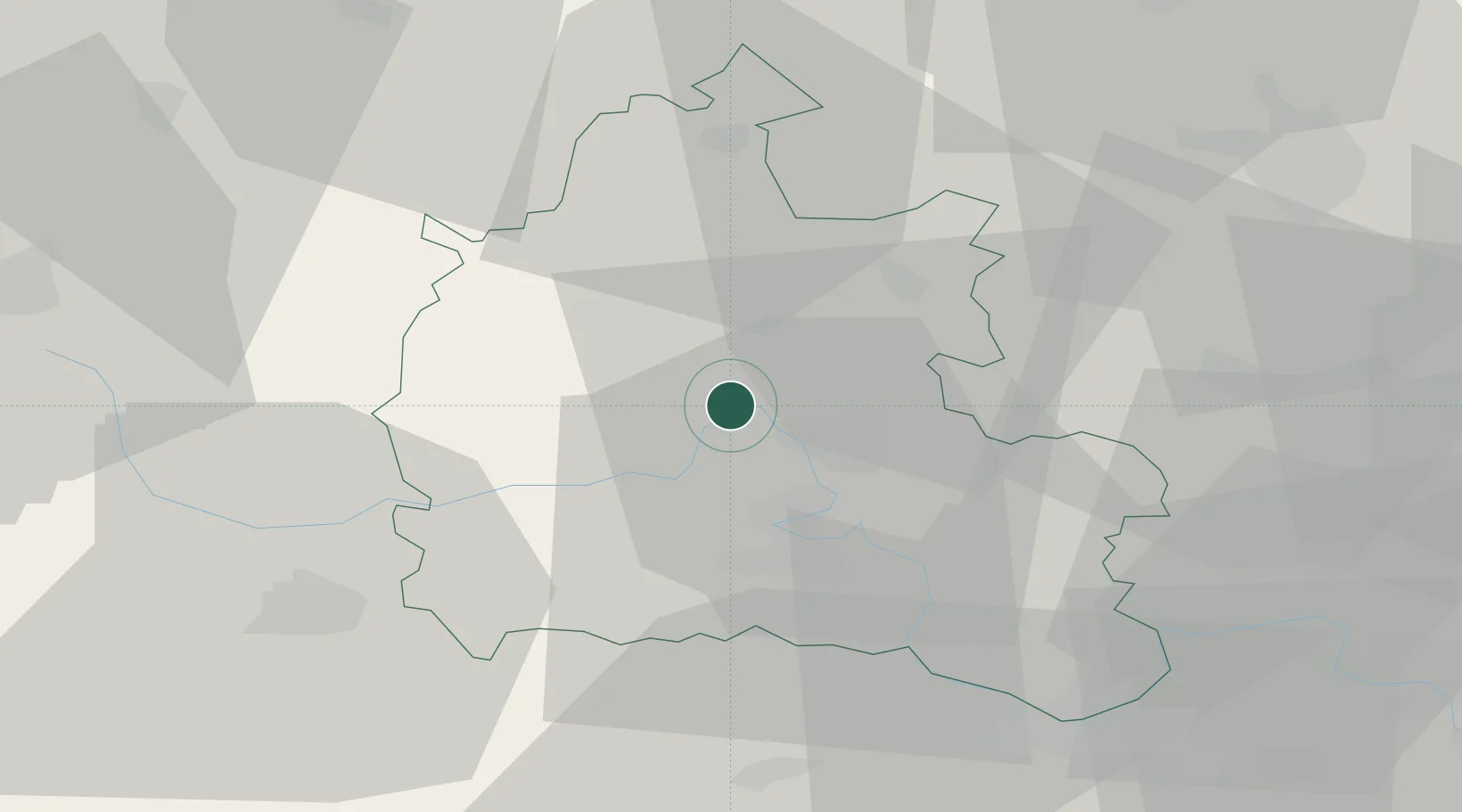
Cassington
51.7833°, -1.3333°
750
Population
2
Transport functions
Transport Functions
Road
Multimodal
Hub Profile
Place type
Populated place
Region
England
Population
750
Time zone
Europe/London
Elevation
67 m
Location
Nearby Logistics Neighbours
Ports
- 1Sharpness80 km
- 2London92 km
- 3Bristol96 km
- 4Southampton98 km
- 5Avonmouth101 km
Airports
- 1London Oxford Airport6 km
- 2RAF Brize Norton18 km
- 3RAF Benson25 km
- 4RAF Fairford33 km
- 5Gloucestershire Airport59 km
DatabookThe Record of Consolidated Knowledge
United Kingdom beyond logistics?