UN/LOCODE hub · Ukraine
UACKK

Cherkasskaya

48.8333°, 37.3833°
2
Transport functions

Transport Functions

Rail
Road
UN/LOCODE

Hub Profile

Region
14
GeoNames

Location

Location of UACKK
Natural Earth 10m (public domain) · 14 · UACKK · 48.83, 37.38GoogleOSMYandex

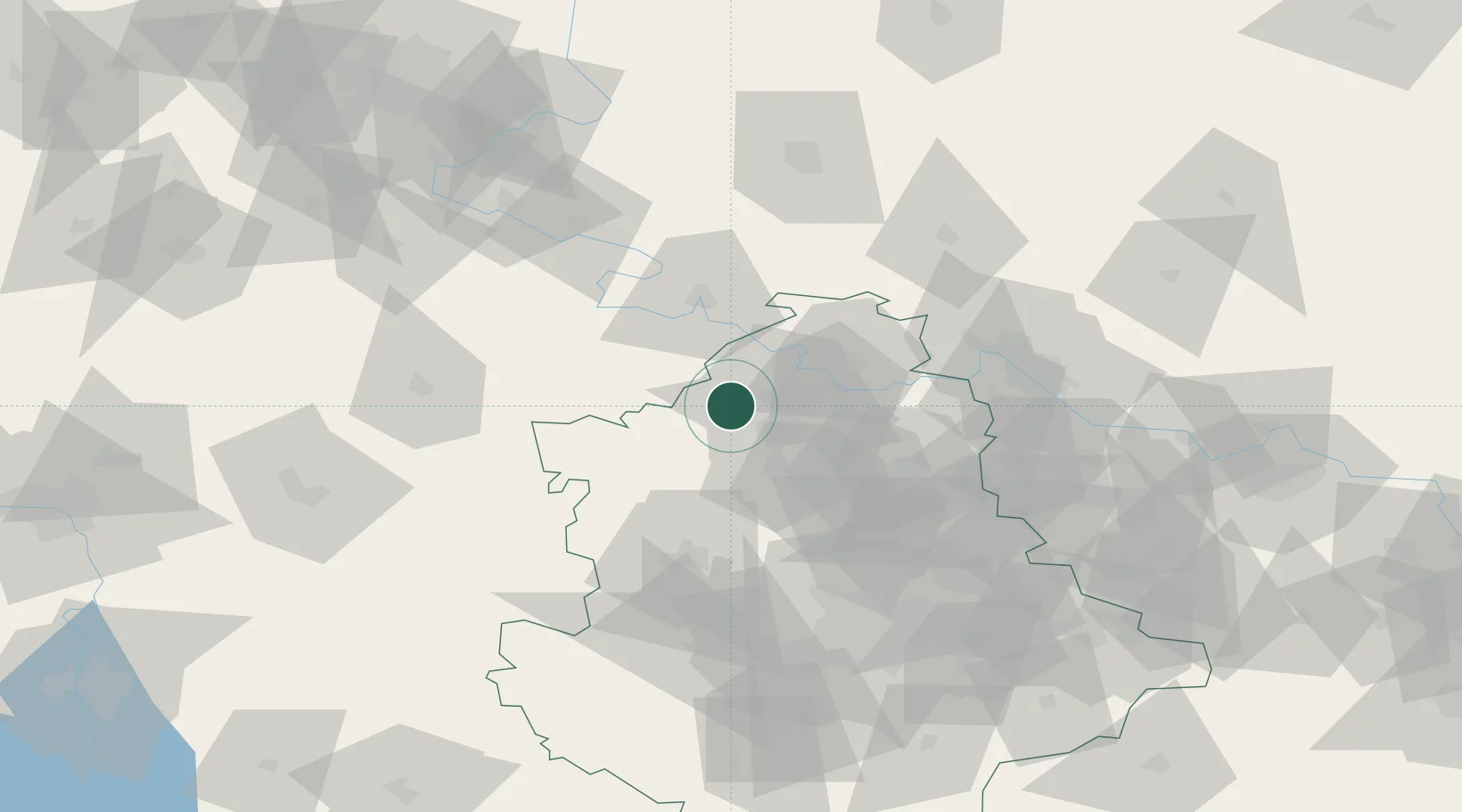
Nearby Logistics Neighbours

Cities
  1. 1Slov'yans'k15 km
  2. 2Artemovsk57 km
  3. 3Severodonetsk82 km
  4. 4Vuhlehirsk88 km
  5. 5Andreevka96 km
Nearest neighbours — logibook spatial index (haversine) over the source coordinates
Ports
  1. 1Mariupol195 km
  2. 2Taganrog216 km
  3. 3Berdyansk236 km
  4. 4Yeysk243 km
  5. 5Azov246 km
Nearest neighbours — logibook spatial index (haversine) over the source coordinates
Airports
  1. 1Kharkiv International Airport145 km
  2. 2Dnipro International Airport176 km
  3. 3Zaporizhzhia International Airport187 km
  4. 4Mariupol International Airport196 km
  5. 5Taganrog Tsentralny Air Base207 km
Nearest neighbours — logibook spatial index (haversine) over the source coordinates
Trade Zones
  1. 1Special Economic Zone Donetsk95 km
  2. 2North Caucasus Resort Cluster179 km
  3. 3Azov Economic Zone195 km
  4. 4Yeletsprom Special Economic Zone429 km
  5. 5Lipetsk Special Economic Zone - Industrial444 km
Nearest neighbours — logibook spatial index (haversine) over the source coordinates
DatabookThe Record of Consolidated Knowledge
Ukraine beyond logistics?
Browse databook

All Sources

LocationsUN/LOCODE
UN/LOCODE — free
Portsthe NGA World Port Index
Public domain (US gov)
AirportsOurAirports
Public domain
Trade Zonesthe World Bank SEZ database
CC BY 4.0
Trade ZonesOpen Zone Map
CC BY
← Ukraine locations