Transport Functions
Port
Road
Hub Profile
Place type
Populated place
Region
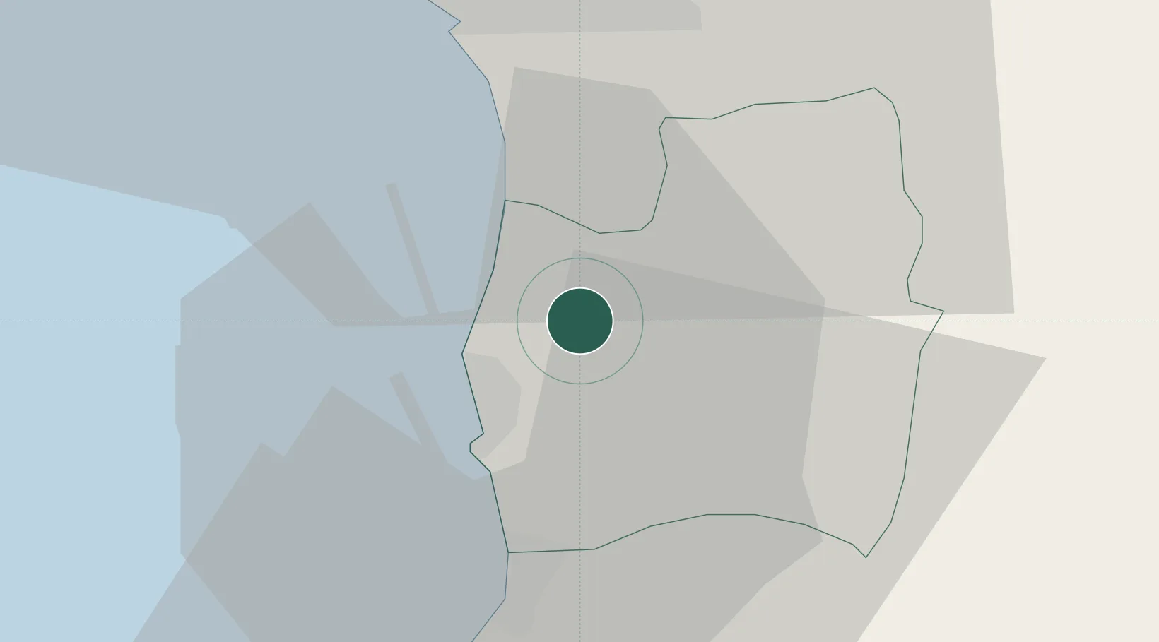
Couva-Tabaquite-Talparo
Time zone
America/Port_of_Spain
Elevation
21 m
Location
Nearby Logistics Neighbours
Cities
- 1Couva5 km
- 2Point Lisas10 km
- 3Claxton Bay12 km
- 4Princes Town21 km
- 5Trincity21 km
Ports
- 1Point Lisas Port11 km
- 2Pointe A Pierre16 km
- 3Port Of Spain25 km
- 4Anse Tembladora32 km
- 5Brighton33 km
Airports
- 1Piarco International Airport19 km
- 2Guiria Airport99 km
- 3A.N.R. Robinson International Airport101 km
- 4Tucupita Airport169 km
- 5Maurice Bishop International Airport177 km
Trade Zones
DatabookThe Record of Consolidated Knowledge
Trinidad & Tobago beyond logistics?