Export Processing Zone · Trinidad & Tobago

Nestlé Caribbean Inc. Free Zone Active
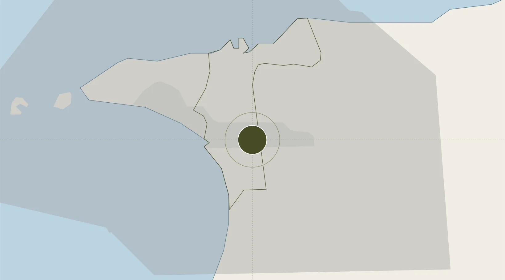
10.6347°, -61.4292°
9 ha
Zone area
9.7 km
Nearest port
10.8 km
Nearest airport

Gateway access

Nearest neighbours — logibook spatial index (haversine) over the source coordinates

Zone profile

Zone type
Export Processing Zone
Open Zone Map
Region
San Juan-Laventille
Open Zone Map
Status
Active
Open Zone Map
Management
Public-Private Partnership
Open Zone Map
Operator
Nestlé Caribbean, Inc.
Open Zone Map
Legal framework
1988 Free Zone Act - Trinidad and Tobago Free Zones Act
Open Zone Map

Location

Location of ozm-4520
Natural Earth 10m (public domain) · San Juan-Laventille · ozm-4520 · 10.63, -61.43GoogleOSMYandex

Nearby Logistics Neighbours

Ports
  1. 1Port Of Spain10 km
  2. 2Anse Tembladora18 km
  3. 3Chaguaramas25 km
  4. 4Point Lisas Port27 km
  5. 5Pointe A Pierre36 km
Nearest neighbours — logibook spatial index (haversine) over the source coordinates
Airports
  1. 1Piarco International Airport11 km
  2. 2A.N.R. Robinson International Airport87 km
  3. 3Guiria Airport97 km
  4. 4Maurice Bishop International Airport157 km
  5. 5Tucupita Airport187 km
Nearest neighbours — logibook spatial index (haversine) over the source coordinates
Cities
  1. 1Morvant/Port-of-Spain4 km
  2. 2Laventille6 km
  3. 3Trincity7 km
  4. 4Port-of-Spain10 km
  5. 5Arima16 km
Nearest neighbours — logibook spatial index (haversine) over the source coordinates
Trade Zones
  1. 1Frederick Settlement Business Park4 km
  2. 2Macoya Industrial Park5 km
  3. 3TrIncity Industrial Park5 km
  4. 4Beetham Industrial Park5 km
  5. 5Morvant Industrial Park6 km
Nearest neighbours — logibook spatial index (haversine) over the source coordinates
DatabookThe Record of Consolidated Knowledge
Trinidad & Tobago beyond logistics?
Browse databook

All Sources

Trade ZonesOpen Zone Map
CC BY
Portsthe NGA World Port Index
Public domain (US gov)
AirportsOurAirports
Public domain
LocationsUN/LOCODE
UN/LOCODE — free
← Trinidad & Tobago trade zones