UN/LOCODE hub · Trinidad & Tobago
TTLLL
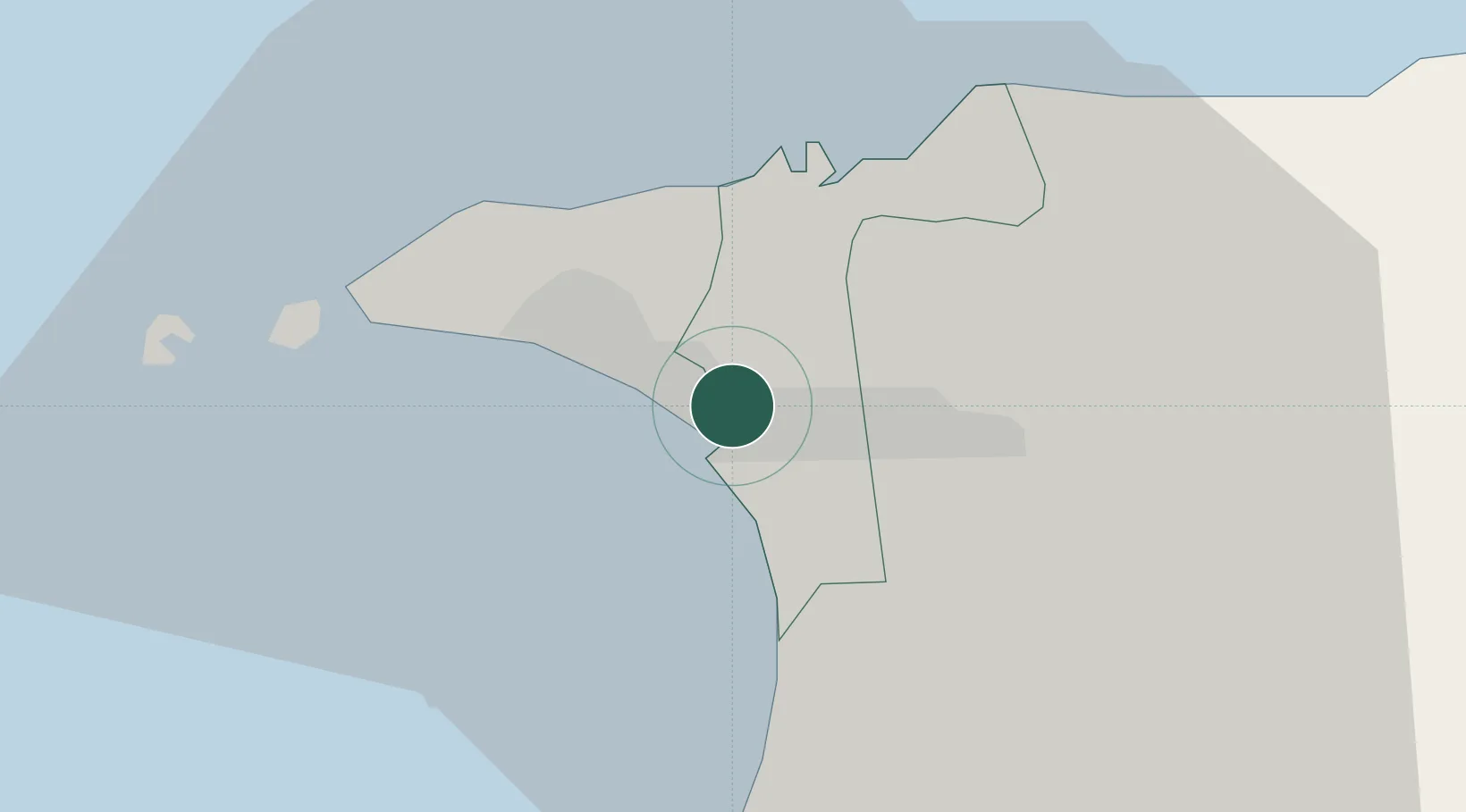
Laventille
10.6500°, -61.4833°
21,000
Population
2
Transport functions
Transport Functions
Road
Multimodal
Hub Profile
Place type
Regional capital
Region
San Juan/Laventille
Population
21,000
Time zone
America/Port_of_Spain
Elevation
28 m
Location
Nearby Logistics Neighbours
Cities
- 1Morvant/Port-of-Spain2 km
- 2Port-of-Spain4 km
- 3Diego Martin12 km
- 4Trincity13 km
- 5Carenage13 km
Ports
- 1Port Of Spain4 km
- 2Anse Tembladora12 km
- 3Chaguaramas19 km
- 4Point Lisas Port28 km
- 5Pointe A Pierre37 km
Airports
Trade Zones
DatabookThe Record of Consolidated Knowledge
Trinidad & Tobago beyond logistics?