Specialized Zone · Tanzania

Kibaha Textile Special Economic Zone Active
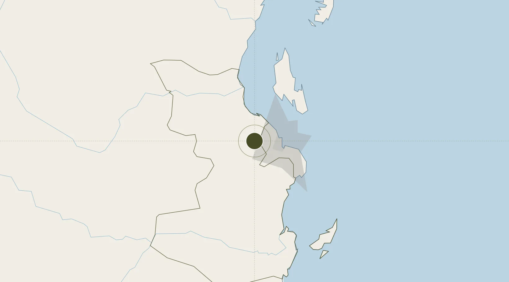
-6.7657°, 38.9710°
36 ha
Zone area
36.8 km
Nearest port
28.7 km
Nearest airport

Gateway access

Nearest neighbours — logibook spatial index (haversine) over the source coordinates

Zone profile

Zone type
Specialized Zone
Open Zone Map
Specialization
Textiles
Open Zone Map
Region
Pwani
Open Zone Map
Status
Active
Open Zone Map
Management
Public-Private Partnership
Open Zone Map
Operator
Tanzania National Development Corporation
Open Zone Map
Legal framework
Special Economic Zones Act of 2006
Open Zone Map

Location

Location of ozm-4433
Natural Earth 10m (public domain) · Pwani · ozm-4433 · -6.77, 38.97GoogleOSMYandex

Nearby Logistics Neighbours

Ports
  1. 1Dar Es Salaam37 km
  2. 2Zanzibar71 km
  3. 3Tanga188 km
  4. 4Kilwa Kivinje224 km
  5. 5Mombasa310 km
Nearest neighbours — logibook spatial index (haversine) over the source coordinates
Airports
  1. 1Julius Nyerere International Airport29 km
  2. 2Abeid Amani Karume International Airport67 km
  3. 3Mafia Airport149 km
  4. 4Tanga Airport186 km
  5. 5Pemba Airport192 km
Nearest neighbours — logibook spatial index (haversine) over the source coordinates
Cities
  1. 1Kibaha6 km
  2. 2African Inland Container Depot30 km
  3. 3Dar es Salaam32 km
  4. 4Zanzibar72 km
  5. 5Ikwiriri136 km
Nearest neighbours — logibook spatial index (haversine) over the source coordinates
Trade Zones
  1. 1Vigor Special Economic Zone20 km
  2. 2Kamal Industrial Park20 km
  3. 3Visegese Industrial Park21 km
  4. 4Kamal Industrial Estate23 km
  5. 5Benjamin Mkapa Special Economic Zone27 km
Nearest neighbours — logibook spatial index (haversine) over the source coordinates
DatabookThe Record of Consolidated Knowledge
Tanzania beyond logistics?
Browse databook

All Sources

Trade ZonesOpen Zone Map
CC BY
Portsthe NGA World Port Index
Public domain (US gov)
AirportsOurAirports
Public domain
LocationsUN/LOCODE
UN/LOCODE — free
← Tanzania trade zones