Export Processing Zone · Tanzania

Ujiji Export Processing Zone Under Development
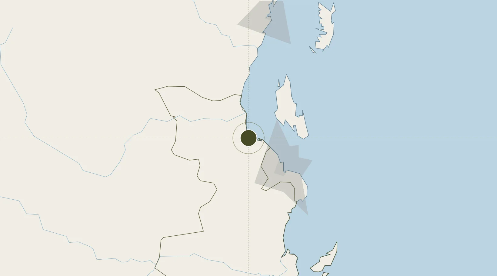
-6.4497°, 38.8783°
2,000 ha
Zone area
46.1 km
Nearest port
45.9 km
Nearest airport

Gateway access

Nearest neighbours — logibook spatial index (haversine) over the source coordinates

Zone profile

Zone type
Export Processing Zone
Open Zone Map
Region
Pwani
Open Zone Map
Status
Under Development
Open Zone Map
Management
Public
Open Zone Map
Operator
Export Processing Zone Authority
Open Zone Map
Legal framework
Special Economic Zones Act of 2006
Open Zone Map

Location

Location of ozm-4421
Natural Earth 10m (public domain) · Pwani · ozm-4421 · -6.45, 38.88GoogleOSMYandex

Nearby Logistics Neighbours

Ports
  1. 1Zanzibar46 km
  2. 2Dar Es Salaam62 km
  3. 3Tanga154 km
  4. 4Kilwa Kivinje261 km
  5. 5Mombasa279 km
Nearest neighbours — logibook spatial index (haversine) over the source coordinates
Airports
  1. 1Abeid Amani Karume International Airport46 km
  2. 2Julius Nyerere International Airport60 km
  3. 3Tanga Airport152 km
  4. 4Pemba Airport168 km
  5. 5Mafia Airport185 km
Nearest neighbours — logibook spatial index (haversine) over the source coordinates
Cities
  1. 1Kibaha36 km
  2. 2Zanzibar48 km
  3. 3African Inland Container Depot58 km
  4. 4Dar es Salaam59 km
  5. 5Tanga156 km
Nearest neighbours — logibook spatial index (haversine) over the source coordinates
Trade Zones
  1. 1Kamal Industrial Estate20 km
  2. 2Kamal Industrial Park27 km
  3. 3Kibaha Textile Special Economic Zone37 km
  4. 4Hidafhi Export Processing Zone54 km
  5. 5Millenium Business Park Export Processing Zone54 km
Nearest neighbours — logibook spatial index (haversine) over the source coordinates
DatabookThe Record of Consolidated Knowledge
Tanzania beyond logistics?
Browse databook

All Sources

Trade ZonesOpen Zone Map
CC BY
Portsthe NGA World Port Index
Public domain (US gov)
AirportsOurAirports
Public domain
LocationsUN/LOCODE
UN/LOCODE — free
← Tanzania trade zones