Medium airport · Türkiye

Şırnak Şerafettin Elçi AirportLTCV
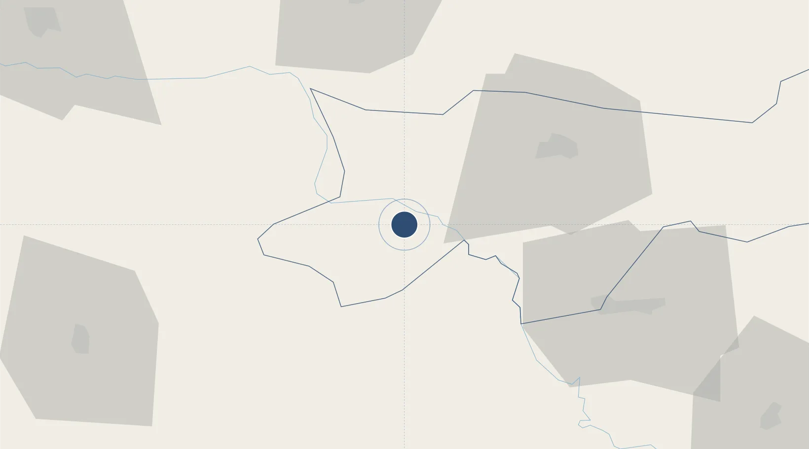
37.3647°, 42.0582°
9,843 ft
Longest runway
1
Runways
2,038 ft
Elevation

Runway & Layout

Şırnak Şerafettin Elçi Airport runway & taxiway layout
Runway & taxiway layout — OpenStreetMap (ODbL) / OurAirports

Runways · 1

RunwayDimensions SurfaceTrue headingLit
11/29 9,843 × 148ft CONC
OurAirports

Airport Specifications

IATA code
NKT
OurAirports
ICAO code
LTCV
OurAirports
Airport class
Medium airport
OurAirports
Scheduled service
Yes
OurAirports
Runway surface
CONC
OurAirports
Served city
Şırnak
OurAirports

Location

Location of LTCV
Natural Earth 10m (public domain) · Sirnak · LTCV · 37.36, 42.06GoogleOSMYandex

Nearby Logistics Neighbours

Airports
  1. 1Siirt Airport71 km
  2. 2Qamishli International Airport86 km
  3. 3Batman Airport104 km
  4. 4Tall Afar Army Air Field124 km
  5. 5Mardin Airport127 km
Nearest neighbours — logibook spatial index (haversine) over the source coordinates
Cities
  1. 1Zakho62 km
  2. 2Poliport69 km
  3. 3Nusaybin82 km
  4. 4Kopru110 km
  5. 5Mosul (Ak Mawsil)141 km
Nearest neighbours — logibook spatial index (haversine) over the source coordinates
Ports
  1. 1Rize433 km
  2. 2Trabzon452 km
  3. 3Hopa454 km
  4. 4Batumi478 km
  5. 5Giresun507 km
Nearest neighbours — logibook spatial index (haversine) over the source coordinates
Trade Zones
  1. 1Al Yarubiyah Free Zone61 km
  2. 2Mardin Free Zone123 km
  3. 3Salmas Special Economic Zone253 km
  4. 4West Islamabad Special Economic Zone288 km
  5. 5Maku Mako Trade-Industrial Free Zone301 km
Nearest neighbours — logibook spatial index (haversine) over the source coordinates
DatabookThe Record of Consolidated Knowledge
Türkiye beyond logistics?
Browse databook

All Sources

AirportsOurAirports
Public domain
Portsthe NGA World Port Index
Public domain (US gov)
LocationsUN/LOCODE
UN/LOCODE — free
Trade Zonesthe World Bank SEZ database
CC BY 4.0
Trade ZonesOpen Zone Map
CC BY
InfrastructureOpenStreetMap
ODbL 1.0
← Türkiye airports