Transport Functions
Multimodal
Hub Profile
Region
21
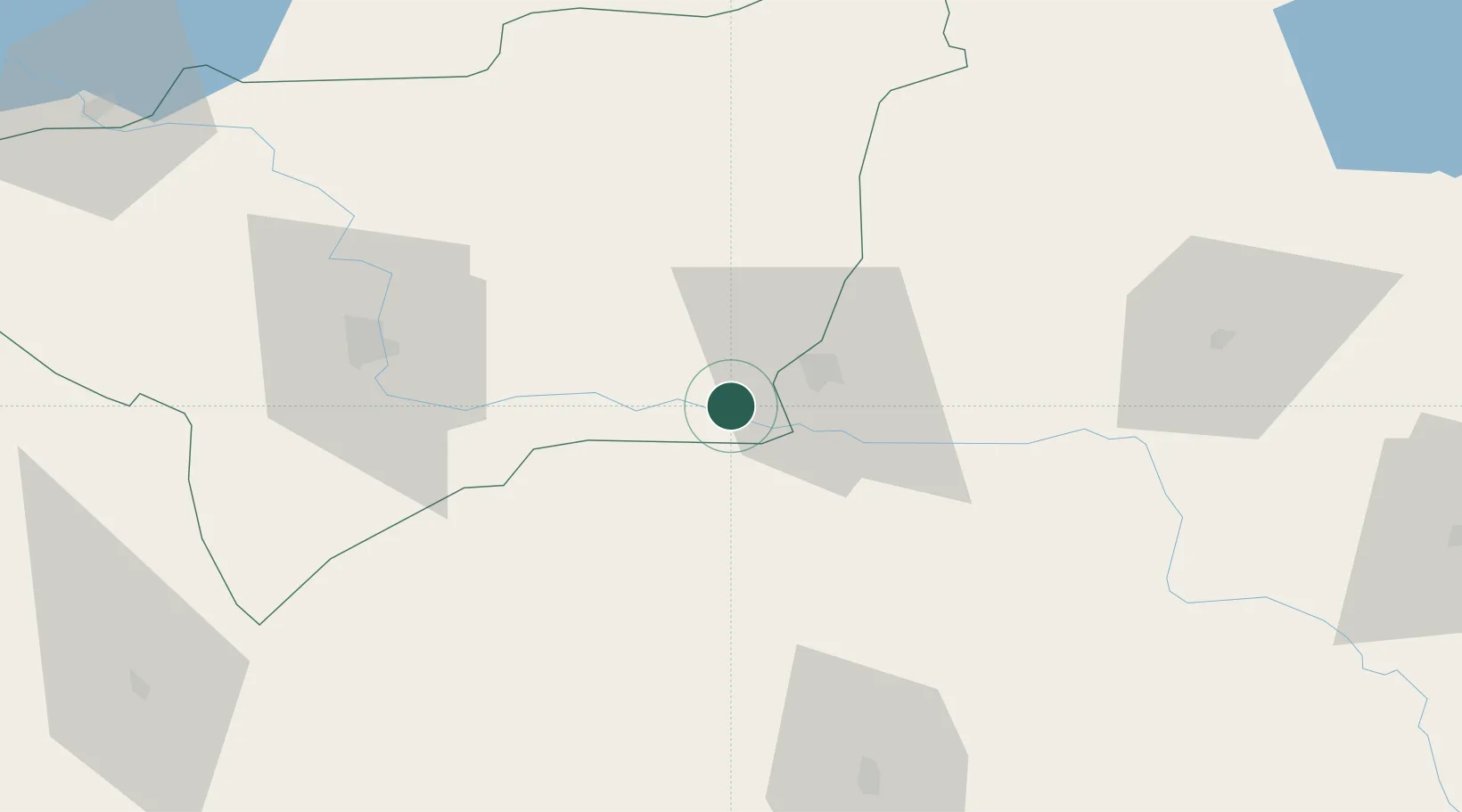
Location
Nearby Logistics Neighbours
Airports
- 1Batman Airport19 km
- 2Diyarbakır Airport66 km
- 3Mardin Airport72 km
- 4Siirt Airport80 km
- 5Qamishli International Airport91 km
Trade Zones
- 1Mardin Free Zone65 km
- 2Al Yarubiyah Free Zone148 km
- 3Gaziantep Free Zone327 km
- 4Salmas Special Economic Zone334 km
- 5Maku Mako Trade-Industrial Free Zone345 km
DatabookThe Record of Consolidated Knowledge
Türkiye beyond logistics?