Transport Functions
Port
Hub Profile
Place type
Populated place
Region
Rabat-Salé-Kénitra
Population
972,299
Time zone
Africa/Casablanca
Elevation
34 m
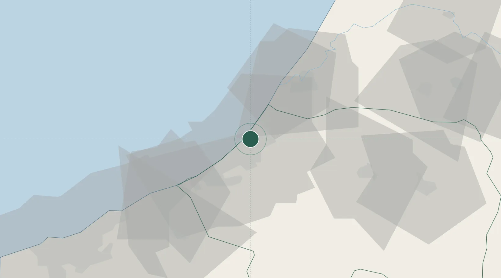
Location
Nearby Logistics Neighbours
Cities
- 1Skhirat30 km
- 2Ar Rommani60 km
- 3Allal Tazi68 km
- 4Aïn Harrouda75 km
- 5Aïn Sebaa83 km
Ports
- 1Kenitra35 km
- 2Mohammedia66 km
- 3Casablanca90 km
- 4El Jadida180 km
- 5El Jorf Lasfar197 km
Airports
- 1Rabat-Salé Airport5 km
- 2Kenitra Air Base35 km
- 3Mohammed V International Airport104 km
- 4Bassatine Airport120 km
- 5Fes Saïss International Airport168 km
Trade Zones
- 1Technopolis9 km
- 2Zona Franca Kenitra Atlantic49 km
- 3Kénitra Atlantic Free Zone49 km
- 4Casablanca MIDPARC Free Zone102 km
- 5Meknès Agropolis125 km
DatabookThe Record of Consolidated Knowledge
Morocco beyond logistics?