Transport Functions
Multimodal
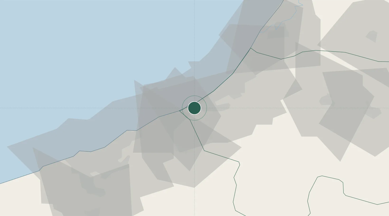
Hub Profile
Place type
Populated place
Region
Fès-Meknès
Time zone
Africa/Casablanca
Elevation
397 m
Location
Nearby Logistics Neighbours
Cities
- 1Salé30 km
- 2Aïn Harrouda45 km
- 3Aïn Sebaa54 km
- 4Ar Rommani55 km
- 5Roches Noires57 km
Ports
- 1Mohammedia37 km
- 2Casablanca61 km
- 3Kenitra64 km
- 4El Jadida151 km
- 5El Jorf Lasfar168 km
Airports
- 1Rabat-Salé Airport34 km
- 2Kenitra Air Base64 km
- 3Mohammed V International Airport74 km
- 4Bassatine Airport140 km
- 5Beni Mellal Airport174 km
Trade Zones
DatabookThe Record of Consolidated Knowledge
Morocco beyond logistics?