Transport Functions
Rail
Road
Hub Profile
Place type
Provincial seat
Region
Jeollanam-do
Population
42,459
Time zone
Asia/Seoul
Elevation
25 m
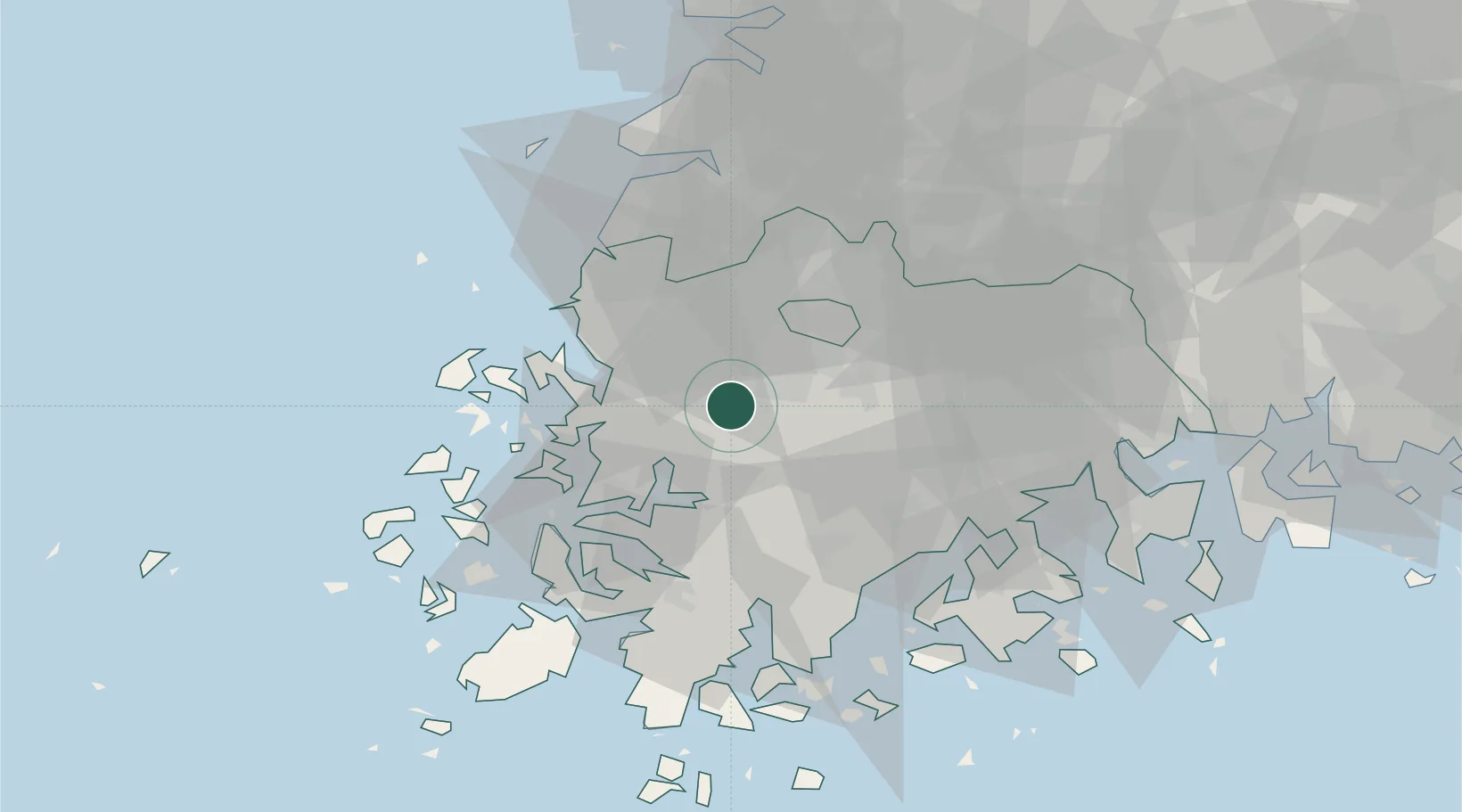
Location
Nearby Logistics Neighbours
Cities
- 1Gwangju15 km
- 2Muan-gun23 km
- 3Hwasun-gun25 km
- 4Yeongam-gun26 km
- 5Jangseong/Jangseong-gun32 km
Ports
- 1Mokpo40 km
- 2Gwangyang Hang95 km
- 3Kunsan108 km
- 4Masan169 km
- 5Chinae176 km
Airports
- 1Gwangju Airport14 km
- 2Muan International Airport31 km
- 3Yeosu Airport84 km
- 4Gunsan Airport / Gunsan Air Base99 km
- 5Sacheon Airport / Sacheon Air Base124 km
DatabookThe Record of Consolidated Knowledge
South Korea beyond logistics?