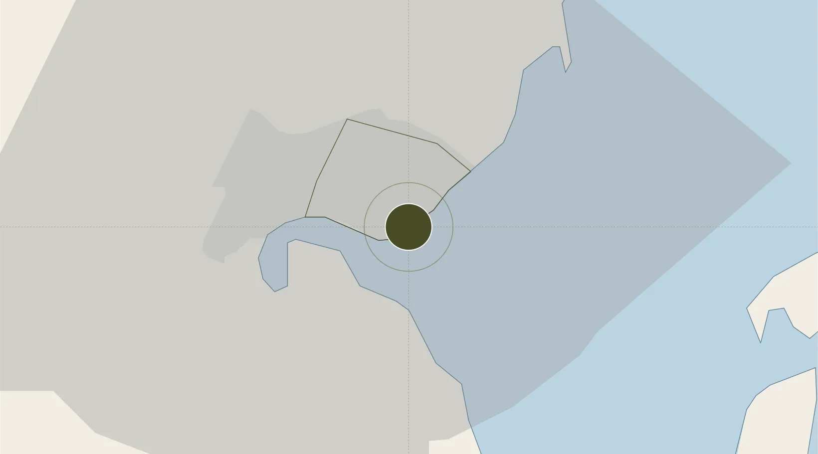
Export Processing Zone · Mozambique

Kenmare Industrial Free Zone Active

-25.9585°, 32.6057°
25 ha
Zone area
6.1 km
Nearest port
5.3 km
Nearest airport

Gateway access

Nearest neighbours — logibook spatial index (haversine) over the source coordinates

Zone profile

Zone type
Export Processing Zone
Open Zone Map
Region
Maputo
Open Zone Map
Status
Active
Open Zone Map
Management
Private
Open Zone Map
Operator
Kenmare Resources plc, KMML, KMPL
Open Zone Map
Legal framework
Ministerial Order 202/2010 of 24 November – SEZ and IFTZ Tax and Custom Special Regime
Open Zone Map

Location

Location of ozm-2886
Natural Earth 10m (public domain) · Maputo · ozm-2886 · -25.96, 32.61GoogleOSMYandex

Nearby Logistics Neighbours

Ports
  1. 1Maputo6 km
  2. 2Richards Bay321 km
  3. 3Inhambane362 km
  4. 4Durban460 km
  5. 5Beira718 km
Nearest neighbours — logibook spatial index (haversine) over the source coordinates
Airports
  1. 1Maputo Airport5 km
  2. 2King Mswati III International Airport99 km
  3. 3Matsapha International Airport144 km
  4. 4Skukuza Airport151 km
  5. 5Kruger Mpumalanga International Airport163 km
Nearest neighbours — logibook spatial index (haversine) over the source coordinates
Cities
  1. 1Maputo8 km
  2. 2Siphofaneni122 km
  3. 3Sidvokodvo137 km
  4. 4Ezulwini152 km
  5. 5Motshane152 km
Nearest neighbours — logibook spatial index (haversine) over the source coordinates
Trade Zones
  1. 1Mozal Industrial Free Zone1 km
  2. 2Moztex Industrial Free Zone2 km
  3. 3Belulane Industrial Park5 km
  4. 4Beluluane Industrial Free Zone20 km
  5. 5MCM Industrias Texteis Industrial Free Zone24 km
Nearest neighbours — logibook spatial index (haversine) over the source coordinates
DatabookThe Record of Consolidated Knowledge
Mozambique beyond logistics?
Browse databook

All Sources

Trade ZonesOpen Zone Map
CC BY
Portsthe NGA World Port Index
Public domain (US gov)
AirportsOurAirports
Public domain
LocationsUN/LOCODE
UN/LOCODE — free
← Mozambique trade zones