UN/LOCODE hub · Mozambique
MZMPM
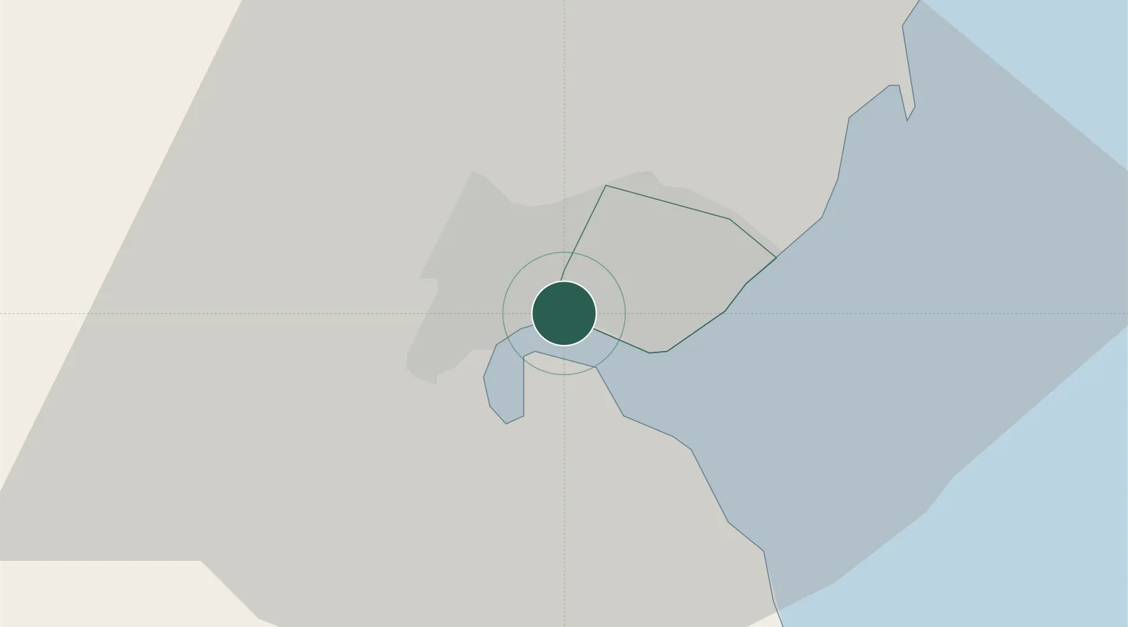
Maputo
-25.9455°, 32.5271°
1,254,837
Population
3
Transport functions
1
Container terminals
Transport Functions
Port
Airport
Postal
Hub Profile
Place type
National capital
Region
Maputo City
Population
1,254,837
Time zone
Africa/Maputo
Elevation
70 m
Logistics facilities
6
Container terminals
1
Location
Nearby Logistics Neighbours
Cities
- 1Siphofaneni118 km
- 2Sidvokodvo131 km
- 3Ezulwini145 km
- 4Motshane145 km
- 5Malkerns151 km
Ports
- 1Richards Bay321 km
- 2Inhambane367 km
- 3Durban459 km
- 4Beira720 km
- 5East London905 km
Airports
Trade Zones
DatabookThe Record of Consolidated Knowledge
Mozambique beyond logistics?