Diversified Zone · Bahrain

Bahrain Investment Wharf (BIW) Active
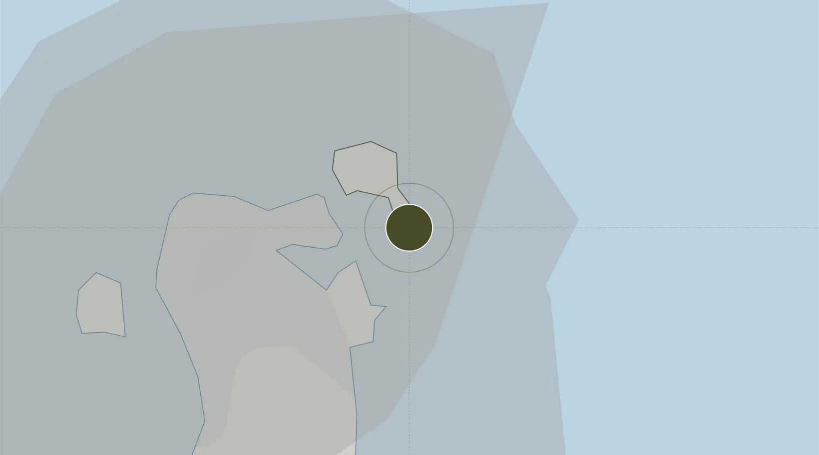
26.2133°, 50.6658°
170 ha
Zone area
3.6 km
Nearest port
6.6 km
Nearest airport

Gateway access

Nearest neighbours — logibook spatial index (haversine) over the source coordinates

Zone profile

Zone type
Diversified Zone
Open Zone Map
Region
Al Muḩarraq
Open Zone Map
Status
Active
Open Zone Map
Management
Public-Private Partnership
Open Zone Map
Operator
Bahrain Investment Wharf B.S.C & Ministry of Industry and Commerce
Open Zone Map
Legal framework
Decree-Law No. 28: 1999: With Respect to the Establishment And Organisation of Industrial Areas
Open Zone Map

Location

Location of ozm-75
Natural Earth 10m (public domain) · Al Muḩarraq · ozm-75 · 26.21, 50.67GoogleOSMYandex

Nearby Logistics Neighbours

Ports
  1. 1Mina Salman4 km
  2. 2Sitrah5 km
  3. 3Al Manamah9 km
  4. 4Khalifa Bin Salman9 km
  5. 5Dammam56 km
Nearest neighbours — logibook spatial index (haversine) over the source coordinates
Airports
  1. 1Bahrain International Airport7 km
  2. 2Sheik Isa Air Base34 km
  3. 3King Abdulaziz Air Base52 km
  4. 4Ras Tanura Airport85 km
  5. 5King Fahd International Airport91 km
Nearest neighbours — logibook spatial index (haversine) over the source coordinates
Cities
  1. 1Al Hidd5 km
  2. 2Khalifa Bin Salman Port5 km
  3. 3Mina Sulman Port5 km
  4. 4Sitrah7 km
  5. 5Al Muharraq8 km
Nearest neighbours — logibook spatial index (haversine) over the source coordinates
Trade Zones
  1. 1Bahrain Logistics Zone1 km
  2. 2Bahrain International Investment Park1 km
  3. 3Sheikh Khalifa Bin Salman Port (KBSP)5 km
  4. 4Bahrain International Airport7 km
  5. 5Dammam Industrial City (First)57 km
Nearest neighbours — logibook spatial index (haversine) over the source coordinates
DatabookThe Record of Consolidated Knowledge
Bahrain beyond logistics?
Browse databook

All Sources

Trade ZonesOpen Zone Map
CC BY
Portsthe NGA World Port Index
Public domain (US gov)
AirportsOurAirports
Public domain
LocationsUN/LOCODE
UN/LOCODE — free
← Bahrain trade zones