Transport Functions
Rail
Airport
Hub Profile
Place type
Regional capital
Region
Arad County
Population
169,065
Time zone
Europe/Bucharest
Elevation
109 m
Logistics facilities
1
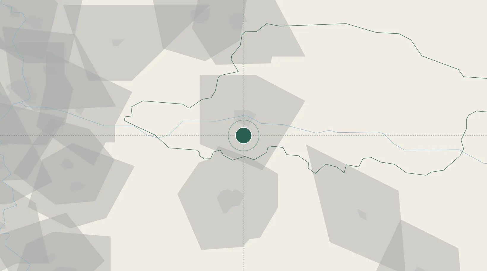
Location
Nearby Logistics Neighbours
Cities
- 1Pecica20 km
- 2Curtici29 km
- 3Izvin34 km
- 4Becicherecu Mic35 km
- 5Recas36 km
Airports
- 1Arad International Airport10 km
- 2Timișoara Traian Vuia International Airport32 km
- 3Caransebeş Airport105 km
- 4Oradea International Airport113 km
- 5Szolnok Air Base141 km
Trade Zones
- 1VGP Park Arad11 km
- 2Free Zone Curtici Arad29 km
- 3VGP Park Timisoara35 km
- 4Zrenjanin Free Zone108 km
- 5Subotica Free Zone129 km
DatabookThe Record of Consolidated Knowledge
Romania beyond logistics?