Transport Functions
Rail
Road
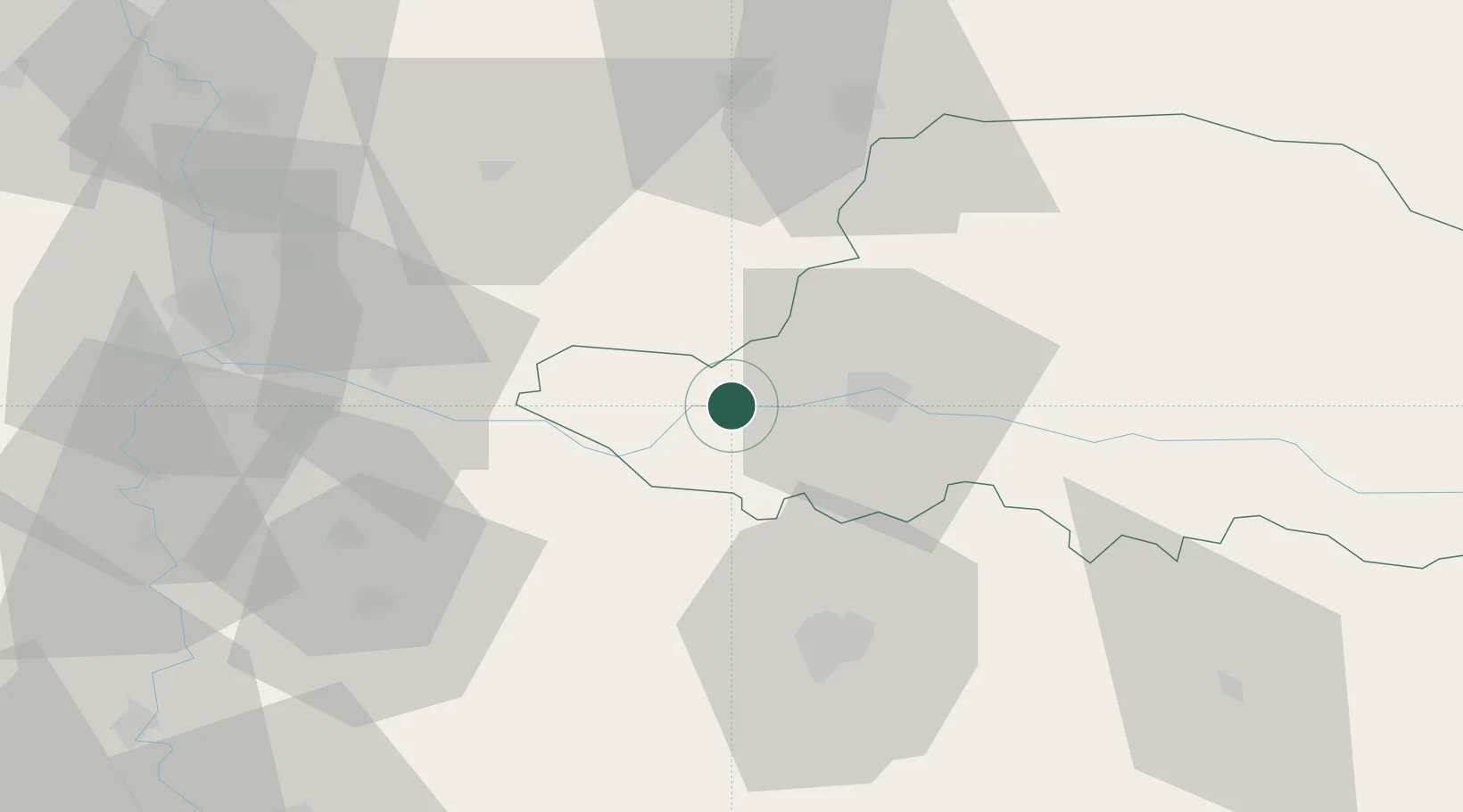
Hub Profile
Place type
Provincial seat
Region
Arad County
Population
12,804
Time zone
Europe/Bucharest
Elevation
100 m
Location
Nearby Logistics Neighbours
Cities
- 1Arad20 km
- 2Curtici27 km
- 3Becicherecu Mic37 km
- 4Lokösháza38 km
- 5Sacalaz46 km
Airports
- 1Arad International Airport15 km
- 2Timișoara Traian Vuia International Airport45 km
- 3Oradea International Airport115 km
- 4Szolnok Air Base124 km
- 5Caransebeş Airport124 km
Trade Zones
- 1VGP Park Arad13 km
- 2Free Zone Curtici Arad26 km
- 3VGP Park Timisoara43 km
- 4Zrenjanin Free Zone103 km
- 5Subotica Free Zone111 km
DatabookThe Record of Consolidated Knowledge
Romania beyond logistics?