UN/LOCODE hub · Romania
ROBUM
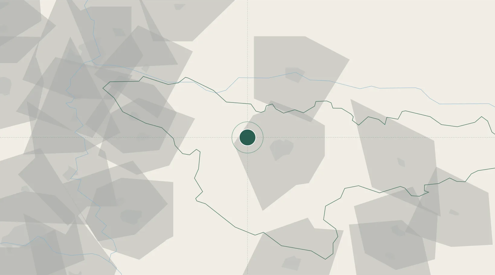
Becicherecu Mic
45.8333°, 21.0500°
4,765
Population
2
Transport functions
Transport Functions
Rail
Road
Hub Profile
Place type
Provincial seat
Region
Timiș County
Population
4,765
Time zone
Europe/Bucharest
Elevation
83 m
Location
Nearby Logistics Neighbours
Cities
- 1Sacalaz10 km
- 2Parta23 km
- 3Remetea Mare26 km
- 4Izvin31 km
- 5Arad35 km
Airports
Trade Zones
- 1VGP Park Timisoara11 km
- 2VGP Park Arad41 km
- 3Free Zone Curtici Arad60 km
- 4Zrenjanin Free Zone73 km
- 5Novi Sad Free Zone113 km
DatabookThe Record of Consolidated Knowledge
Romania beyond logistics?