Specialized Zone · Philippines

Fort Ilocandia Tourism Ecozone Active
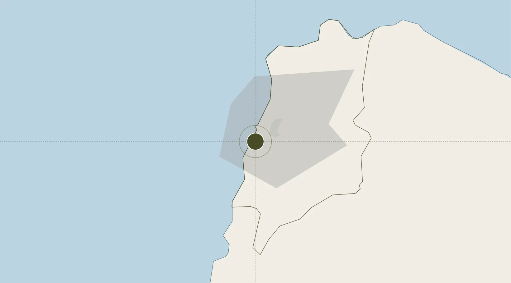
18.1563°, 120.5202°
77 ha
Zone area
78.4 km
Nearest port
2.4 km
Nearest airport

Gateway access

Nearest neighbours — logibook spatial index (haversine) over the source coordinates

Zone profile

Zone type
Specialized Zone
Open Zone Map
Specialization
Tourism
Open Zone Map
Region
Ilocos Norte
Open Zone Map
Status
Active
Open Zone Map
Management
Private
Open Zone Map
Operator
Fort Ilocandia Property Holdings and Development Corporation
Open Zone Map
Legal framework
Special Economic Zone Act (Republic Act No. 7916) (as amended by Republic Act No. 8748)
Open Zone Map

Location

Location of ozm-3944
Natural Earth 10m (public domain) · Ilocos Norte · ozm-3944 · 18.16, 120.52GoogleOSMYandex

Nearby Logistics Neighbours

Ports
  1. 1Claveria78 km
  2. 2Aparri120 km
  3. 3San Fernando Harbor173 km
  4. 4Masinloc296 km
  5. 5Basco297 km
Nearest neighbours — logibook spatial index (haversine) over the source coordinates
Airports
  1. 1Laoag International Airport2 km
  2. 2Cagayan North International Airport130 km
  3. 3Tuguegarao Airport140 km
  4. 4San Fernando Airport175 km
  5. 5Cauayan Airport189 km
Nearest neighbours — logibook spatial index (haversine) over the source coordinates
Cities
  1. 1Laoag, Luzon7 km
  2. 2Salomague43 km
  3. 3Pasaleng, Luzon61 km
  4. 4Abulug103 km
  5. 5Amunitan/Aparri163 km
Nearest neighbours — logibook spatial index (haversine) over the source coordinates
Trade Zones
  1. 1Venvi IT Hub8 km
  2. 2The VYV8 km
  3. 3Ilocano Heroes Hall Techno Center9 km
  4. 4Mariano Marcos State University IT Center11 km
  5. 5Robinsons Place Ilocos Norte Expansion44 km
Nearest neighbours — logibook spatial index (haversine) over the source coordinates
DatabookThe Record of Consolidated Knowledge
Philippines beyond logistics?
Browse databook

All Sources

Trade ZonesOpen Zone Map
CC BY
Portsthe NGA World Port Index
Public domain (US gov)
AirportsOurAirports
Public domain
LocationsUN/LOCODE
UN/LOCODE — free
← Philippines trade zones