Transport Functions
Port
Airport
Hub Profile
Region
ILN
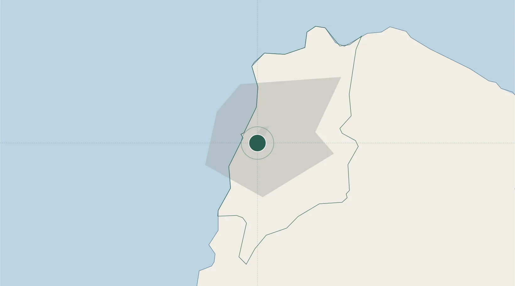
Location
Nearby Logistics Neighbours
Cities
- 1Salomague48 km
- 2Pasaleng, Luzon54 km
- 3Abulug96 km
- 4Amunitan/Aparri156 km
- 5Port Irene161 km
Ports
- 1Claveria71 km
- 2Aparri113 km
- 3San Fernando Harbor177 km
- 4Basco291 km
- 5Masinloc301 km
Airports
- 1Laoag International Airport6 km
- 2Cagayan North International Airport123 km
- 3Tuguegarao Airport136 km
- 4San Fernando Airport179 km
- 5Cauayan Airport187 km
Trade Zones
DatabookThe Record of Consolidated Knowledge
Philippines beyond logistics?