Specialized Zone · Philippines
Mariano Marcos State University IT Center Under Development
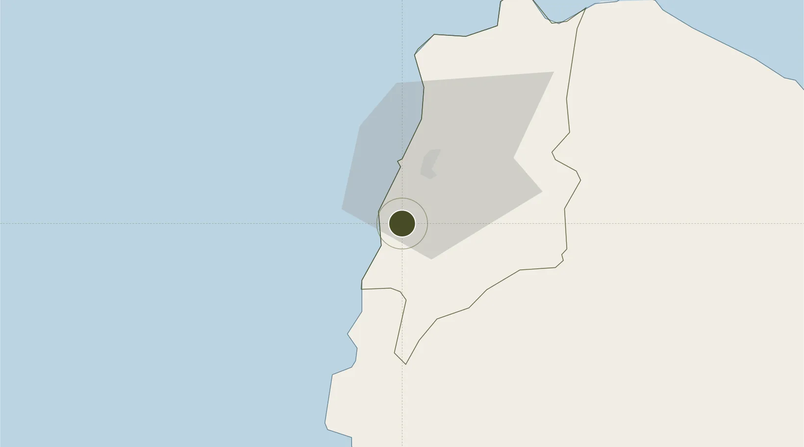
18.0603°, 120.5298°
1 ha
Zone area
85.1 km
Nearest port
12.8 km
Nearest airport
Gateway access
Zone profile
Zone type
Specialized Zone
Specialization
IT
Region
Ilocos Norte
Status
Under Development
Management
Public
Operator
Mariano Marcos State University
Legal framework
Special Economic Zone Act (Republic Act No. 7916) (as amended by Republic Act No. 8748)
Location
Nearby Logistics Neighbours
Ports
- 1Claveria85 km
- 2Aparri121 km
- 3San Fernando Harbor162 km
- 4Masinloc286 km
- 5Basco306 km
Airports
- 1Laoag International Airport13 km
- 2Cagayan North International Airport129 km
- 3Tuguegarao Airport136 km
- 4San Fernando Airport165 km
- 5Cauayan Airport181 km
Cities
- 1Laoag, Luzon15 km
- 2Salomague33 km
- 3Pasaleng, Luzon68 km
- 4Abulug106 km
- 5Pagudpud, Luzon162 km
Trade Zones
- 1Fort Ilocandia Tourism Ecozone11 km
- 2Venvi IT Hub15 km
- 3The VYV15 km
- 4Ilocano Heroes Hall Techno Center16 km
- 5Robinsons Place Ilocos Norte Expansion42 km
DatabookThe Record of Consolidated Knowledge
Philippines beyond logistics?