Specialized Zone · Philippines

Robinsons Place Ilocos Norte Expansion Active
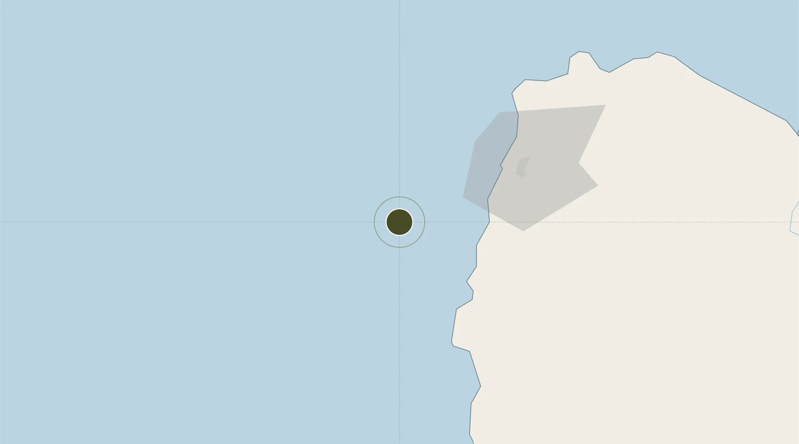
18.0042°, 120.1389°
3 ha
Zone area
120.7 km
Nearest port
45.6 km
Nearest airport

Gateway access

Nearest neighbours — logibook spatial index (haversine) over the source coordinates

Zone profile

Zone type
Specialized Zone
Open Zone Map
Specialization
IT
Open Zone Map
Status
Active
Open Zone Map
Management
Private
Open Zone Map
Operator
Robinsons Land Corporation
Open Zone Map
Legal framework
Special Economic Zone Act (Republic Act No. 7916) (as amended by Republic Act No. 8748)
Open Zone Map

Location

Location of ozm-3748
Natural Earth 10m (public domain) · ozm-3748 · 18.00, 120.14GoogleOSMYandex

Nearby Logistics Neighbours

Ports
  1. 1Claveria121 km
  2. 2San Fernando Harbor155 km
  3. 3Aparri163 km
  4. 4Masinloc274 km
  5. 5Basco333 km
Nearest neighbours — logibook spatial index (haversine) over the source coordinates
Airports
  1. 1Laoag International Airport46 km
  2. 2San Fernando Airport158 km
  3. 3Cagayan North International Airport171 km
  4. 4Tuguegarao Airport174 km
  5. 5Loakan Airport188 km
Nearest neighbours — logibook spatial index (haversine) over the source coordinates
Cities
  1. 1Salomague38 km
  2. 2Laoag, Luzon51 km
  3. 3Pasaleng, Luzon102 km
  4. 4Abulug147 km
  5. 5Pagudpud, Luzon155 km
Nearest neighbours — logibook spatial index (haversine) over the source coordinates
Trade Zones
  1. 1Mariano Marcos State University IT Center42 km
  2. 2Fort Ilocandia Tourism Ecozone44 km
  3. 3Venvi IT Hub52 km
  4. 4The VYV52 km
  5. 5Ilocano Heroes Hall Techno Center53 km
Nearest neighbours — logibook spatial index (haversine) over the source coordinates
DatabookThe Record of Consolidated Knowledge
Philippines beyond logistics?
Browse databook

All Sources

Trade ZonesOpen Zone Map
CC BY
Portsthe NGA World Port Index
Public domain (US gov)
AirportsOurAirports
Public domain
LocationsUN/LOCODE
UN/LOCODE — free
← Philippines trade zones