Specialized Zone · Philippines
The VYV Active
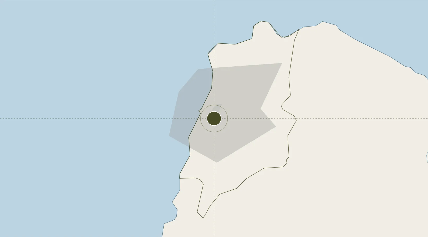
18.1800°, 120.5907°
0 ha
Zone area
71.1 km
Nearest port
6.3 km
Nearest airport
Gateway access
Zone profile
Zone type
Specialized Zone
Specialization
IT
Region
Ilocos Norte
Status
Active
Management
Private
Operator
VVH Realty Corporation
Legal framework
Special Economic Zone Act (Republic Act No. 7916) (as amended by Republic Act No. 8748)
Location
Nearby Logistics Neighbours
Ports
- 1Claveria71 km
- 2Aparri112 km
- 3San Fernando Harbor176 km
- 4Basco291 km
- 5Masinloc300 km
Airports
- 1Laoag International Airport6 km
- 2Cagayan North International Airport122 km
- 3Tuguegarao Airport135 km
- 4San Fernando Airport179 km
- 5Cauayan Airport186 km
Cities
- 1Laoag, Luzon1 km
- 2Salomague48 km
- 3Pasaleng, Luzon54 km
- 4Abulug95 km
- 5Amunitan/Aparri155 km
DatabookThe Record of Consolidated Knowledge
Philippines beyond logistics?