Specialized Zone · Philippines

Batangas Racing Circuit Tourism Estate Active
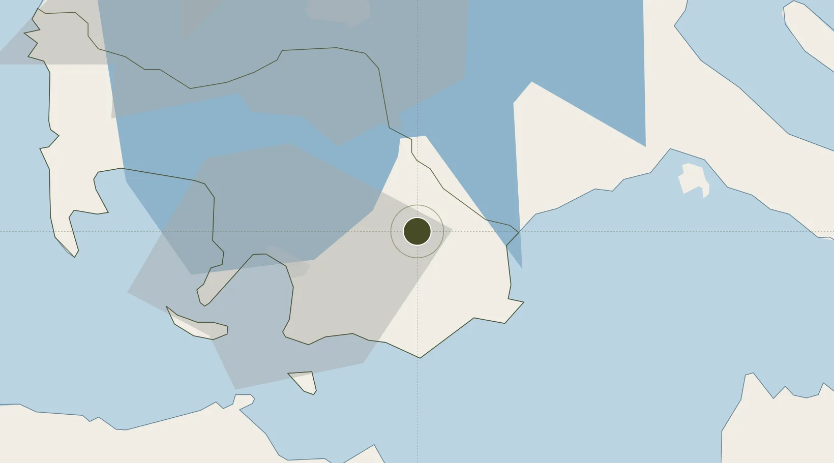
13.8212°, 121.2739°
27 ha
Zone area
25.4 km
Nearest port
78.6 km
Nearest airport

Gateway access

Nearest neighbours — logibook spatial index (haversine) over the source coordinates

Zone profile

Zone type
Specialized Zone
Open Zone Map
Specialization
Tourism
Open Zone Map
Region
Batangas
Open Zone Map
Status
Active
Open Zone Map
Management
Private
Open Zone Map
Operator
Brystol Realty Development Corp.
Open Zone Map
Legal framework
Special Economic Zone Act (Republic Act No. 7916) (as amended by Republic Act No. 8748)
Open Zone Map

Location

Location of ozm-3931
Natural Earth 10m (public domain) · Batangas · ozm-3931 · 13.82, 121.27GoogleOSMYandex

Nearby Logistics Neighbours

Ports
  1. 1Batangas City25 km
  2. 2Calapan46 km
  3. 3Nasugbu77 km
  4. 4Manila91 km
  5. 5Hondagua105 km
Nearest neighbours — logibook spatial index (haversine) over the source coordinates
Airports
  1. 1Marinduque Airport79 km
  2. 2Ninoy Aquino International Airport81 km
  3. 3Danilo Atienza Air Base85 km
  4. 4Mamburao Airport99 km
  5. 5Lubang Airport126 km
Nearest neighbours — logibook spatial index (haversine) over the source coordinates
Cities
  1. 1Candelaria19 km
  2. 2Batangas/Luzon23 km
  3. 3Bauan/Batangas30 km
  4. 4Tanauan30 km
  5. 5Castañas31 km
Nearest neighbours — logibook spatial index (haversine) over the source coordinates
Trade Zones
  1. 1Robinsons Place Lipa19 km
  2. 2SM City Lipa19 km
  3. 3Fiesta World Mall IT Center19 km
  4. 4Peter Paul Industrial Ecozone - Candelaria20 km
  5. 5Nusselt Agro-Industrial Ecozone20 km
Nearest neighbours — logibook spatial index (haversine) over the source coordinates
DatabookThe Record of Consolidated Knowledge
Philippines beyond logistics?
Browse databook

All Sources

Trade ZonesOpen Zone Map
CC BY
Portsthe NGA World Port Index
Public domain (US gov)
AirportsOurAirports
Public domain
LocationsUN/LOCODE
UN/LOCODE — free
← Philippines trade zones