Specialized Zone · Philippines

Fiesta World Mall IT Center Active
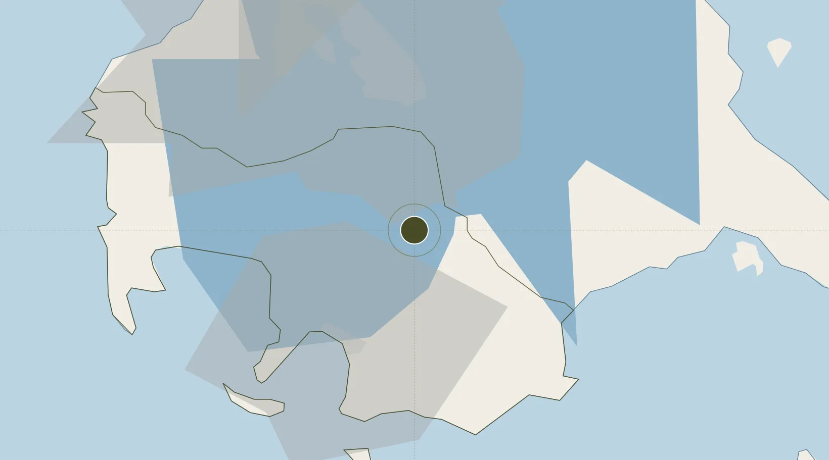
13.9626°, 121.1693°
8 ha
Zone area
26.9 km
Nearest port
62.8 km
Nearest airport

Gateway access

Nearest neighbours — logibook spatial index (haversine) over the source coordinates

Zone profile

Zone type
Specialized Zone
Open Zone Map
Specialization
IT
Open Zone Map
Region
Batangas
Open Zone Map
Status
Active
Open Zone Map
Management
Private
Open Zone Map
Operator
Fiesta World Mall Corporation
Open Zone Map
Legal framework
Special Economic Zone Act (Republic Act No. 7916) (as amended by Republic Act No. 8748)
Open Zone Map

Location

Location of ozm-3822
Natural Earth 10m (public domain) · Batangas · ozm-3822 · 13.96, 121.17GoogleOSMYandex

Nearby Logistics Neighbours

Ports
  1. 1Batangas City27 km
  2. 2Calapan61 km
  3. 3Nasugbu61 km
  4. 4Manila72 km
  5. 5Mariveles91 km
Nearest neighbours — logibook spatial index (haversine) over the source coordinates
Airports
  1. 1Ninoy Aquino International Airport63 km
  2. 2Danilo Atienza Air Base66 km
  3. 3Marinduque Airport98 km
  4. 4Mamburao Airport104 km
  5. 5Lubang Airport116 km
Nearest neighbours — logibook spatial index (haversine) over the source coordinates
Cities
  1. 1Tanauan12 km
  2. 2Batangas/Luzon13 km
  3. 3Bauan/Batangas26 km
  4. 4Candelaria27 km
  5. 5Camarines Norte/Jose Panganiban29 km
Nearest neighbours — logibook spatial index (haversine) over the source coordinates
Trade Zones
  1. 1SM City Lipa1 km
  2. 2Robinsons Place Lipa3 km
  3. 38G Special Economic Zone5 km
  4. 4Lima Technology Center 6 km
  5. 5Light Industry & Science Park IV9 km
Nearest neighbours — logibook spatial index (haversine) over the source coordinates
DatabookThe Record of Consolidated Knowledge
Philippines beyond logistics?
Browse databook

All Sources

Trade ZonesOpen Zone Map
CC BY
Portsthe NGA World Port Index
Public domain (US gov)
AirportsOurAirports
Public domain
LocationsUN/LOCODE
UN/LOCODE — free
← Philippines trade zones