Specialized Zone · Philippines

Peter Paul Industrial Ecozone - Candelaria Active
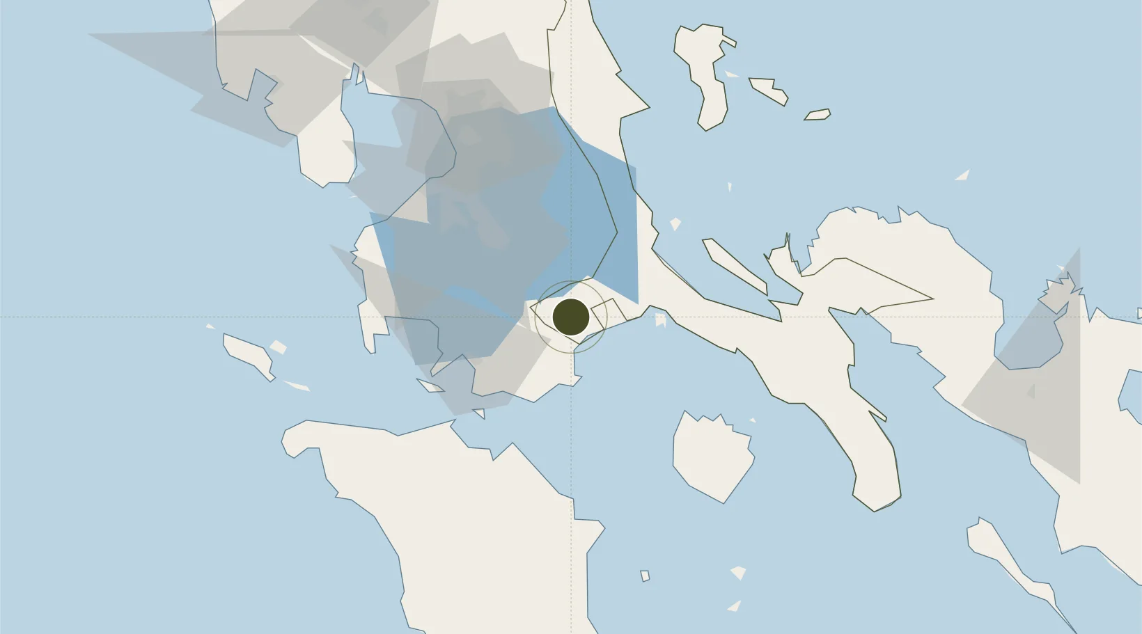
13.9242°, 121.4216°
7 ha
Zone area
44.6 km
Nearest port
76.4 km
Nearest airport

Gateway access

Nearest neighbours — logibook spatial index (haversine) over the source coordinates

Zone profile

Zone type
Specialized Zone
Open Zone Map
Specialization
Agriculture
Open Zone Map
Region
Quezon
Open Zone Map
Status
Active
Open Zone Map
Management
Private
Open Zone Map
Operator
JLQ Realty Corporation
Open Zone Map
Legal framework
Special Economic Zone Act (Republic Act No. 7916) (as amended by Republic Act No. 8748)
Open Zone Map

Location

Location of ozm-3341
Natural Earth 10m (public domain) · Quezon · ozm-3341 · 13.92, 121.42GoogleOSMYandex

Nearby Logistics Neighbours

Ports
  1. 1Batangas City45 km
  2. 2Calapan62 km
  3. 3Hondagua88 km
  4. 4Manila88 km
  5. 5Nasugbu89 km
Nearest neighbours — logibook spatial index (haversine) over the source coordinates
Airports
  1. 1Marinduque Airport76 km
  2. 2Ninoy Aquino International Airport78 km
  3. 3Danilo Atienza Air Base85 km
  4. 4Mamburao Airport119 km
  5. 5Lubang Airport142 km
Nearest neighbours — logibook spatial index (haversine) over the source coordinates
Cities
  1. 1Candelaria1 km
  2. 2Castañas15 km
  3. 3Pagbilao29 km
  4. 4Tanauan33 km
  5. 5Batangas/Luzon38 km
Nearest neighbours — logibook spatial index (haversine) over the source coordinates
Trade Zones
  1. 1Candelaria Agri Special Economic Zone4 km
  2. 2Batangas Racing Circuit Tourism Estate20 km
  3. 3San Pablo City IT Center20 km
  4. 4SM City San Pablo IT Center21 km
  5. 5SMLC IT Center22 km
Nearest neighbours — logibook spatial index (haversine) over the source coordinates
DatabookThe Record of Consolidated Knowledge
Philippines beyond logistics?
Browse databook

All Sources

Trade ZonesOpen Zone Map
CC BY
Portsthe NGA World Port Index
Public domain (US gov)
AirportsOurAirports
Public domain
LocationsUN/LOCODE
UN/LOCODE — free
← Philippines trade zones