Transport Functions
Port
Road
Hub Profile
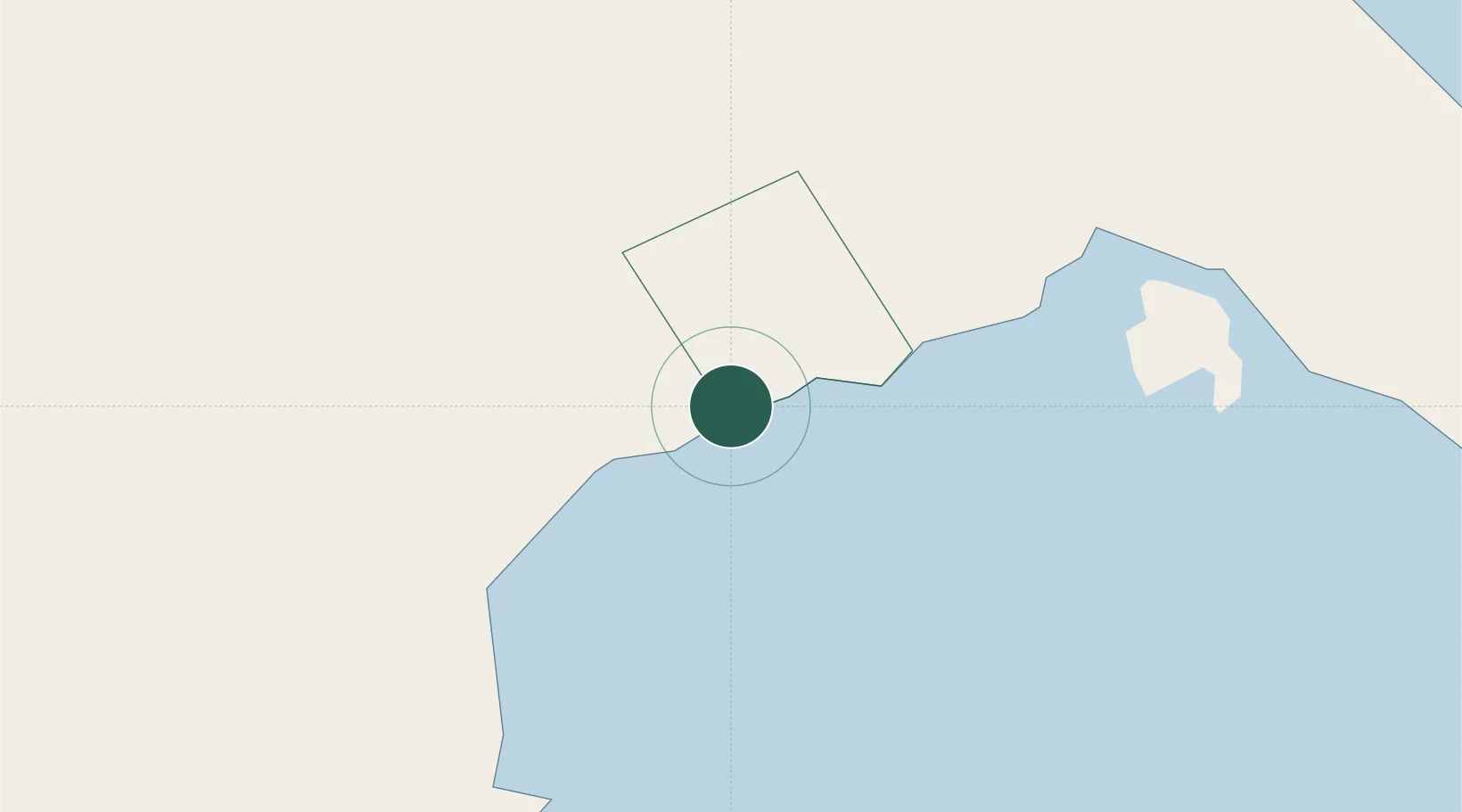
Place type
Populated place
Region
Calabarzon
Population
9,040
Time zone
Asia/Manila
Elevation
4 m
Location
Nearby Logistics Neighbours
Cities
- 1Candelaria15 km
- 2Pagbilao17 km
- 3Atimonan/Siain39 km
- 4Binan43 km
- 5Tanauan48 km
Ports
- 1Batangas City56 km
- 2Calapan65 km
- 3Hondagua74 km
- 4Manila100 km
- 5Nasugbu103 km
Airports
- 1Marinduque Airport65 km
- 2Ninoy Aquino International Airport90 km
- 3Danilo Atienza Air Base97 km
- 4Mamburao Airport127 km
- 5Lubang Airport156 km
Trade Zones
DatabookThe Record of Consolidated Knowledge
Philippines beyond logistics?