Specialized Zone · Philippines

Robinsons Place Lipa Active
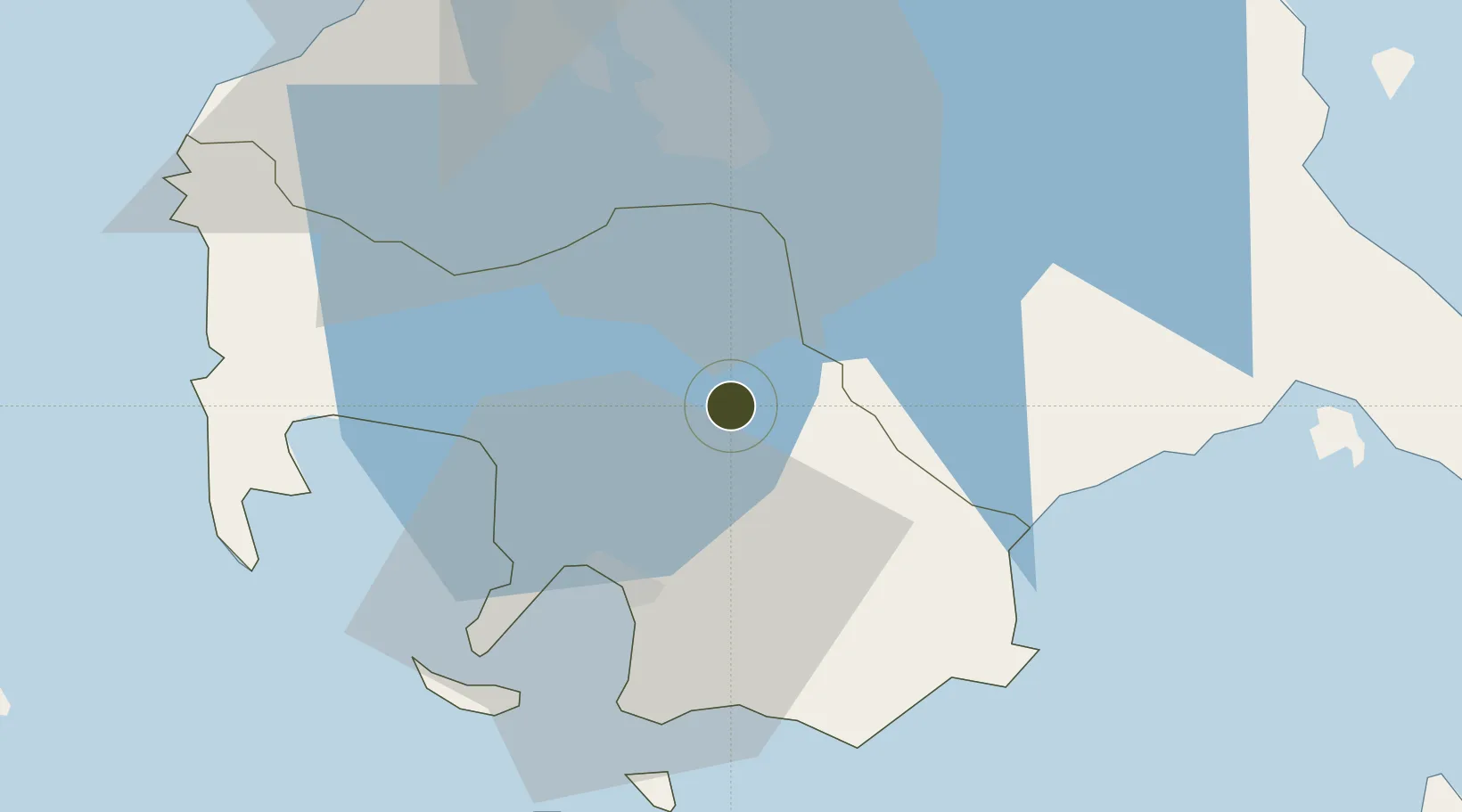
13.9430°, 121.1505°
6 ha
Zone area
24.1 km
Nearest port
64.4 km
Nearest airport

Gateway access

Nearest neighbours — logibook spatial index (haversine) over the source coordinates

Zone profile

Zone type
Specialized Zone
Open Zone Map
Specialization
IT
Open Zone Map
Region
Batangas
Open Zone Map
Status
Active
Open Zone Map
Management
Private
Open Zone Map
Operator
Robinson's Land Corporation
Open Zone Map
Legal framework
Special Economic Zone Act (Republic Act No. 7916) (as amended by Republic Act No. 8748)
Open Zone Map

Location

Location of ozm-3807
Natural Earth 10m (public domain) · Batangas · ozm-3807 · 13.94, 121.15GoogleOSMYandex

Nearby Logistics Neighbours

Ports
  1. 1Batangas City24 km
  2. 2Calapan59 km
  3. 3Nasugbu60 km
  4. 4Manila74 km
  5. 5Mariveles90 km
Nearest neighbours — logibook spatial index (haversine) over the source coordinates
Airports
  1. 1Ninoy Aquino International Airport64 km
  2. 2Danilo Atienza Air Base67 km
  3. 3Marinduque Airport98 km
  4. 4Mamburao Airport101 km
  5. 5Lubang Airport113 km
Nearest neighbours — logibook spatial index (haversine) over the source coordinates
Cities
  1. 1Batangas/Luzon10 km
  2. 2Tanauan14 km
  3. 3Bauan/Batangas23 km
  4. 4Candelaria29 km
  5. 5Canlubang31 km
Nearest neighbours — logibook spatial index (haversine) over the source coordinates
Trade Zones
  1. 1SM City Lipa2 km
  2. 2Fiesta World Mall IT Center3 km
  3. 38G Special Economic Zone7 km
  4. 4Lima Technology Center 8 km
  5. 5Light Industry & Science Park IV11 km
Nearest neighbours — logibook spatial index (haversine) over the source coordinates
DatabookThe Record of Consolidated Knowledge
Philippines beyond logistics?
Browse databook

All Sources

Trade ZonesOpen Zone Map
CC BY
Portsthe NGA World Port Index
Public domain (US gov)
AirportsOurAirports
Public domain
LocationsUN/LOCODE
UN/LOCODE — free
← Philippines trade zones