Specialized Zone · Philippines

Nusselt Agro-Industrial Ecozone Under Development
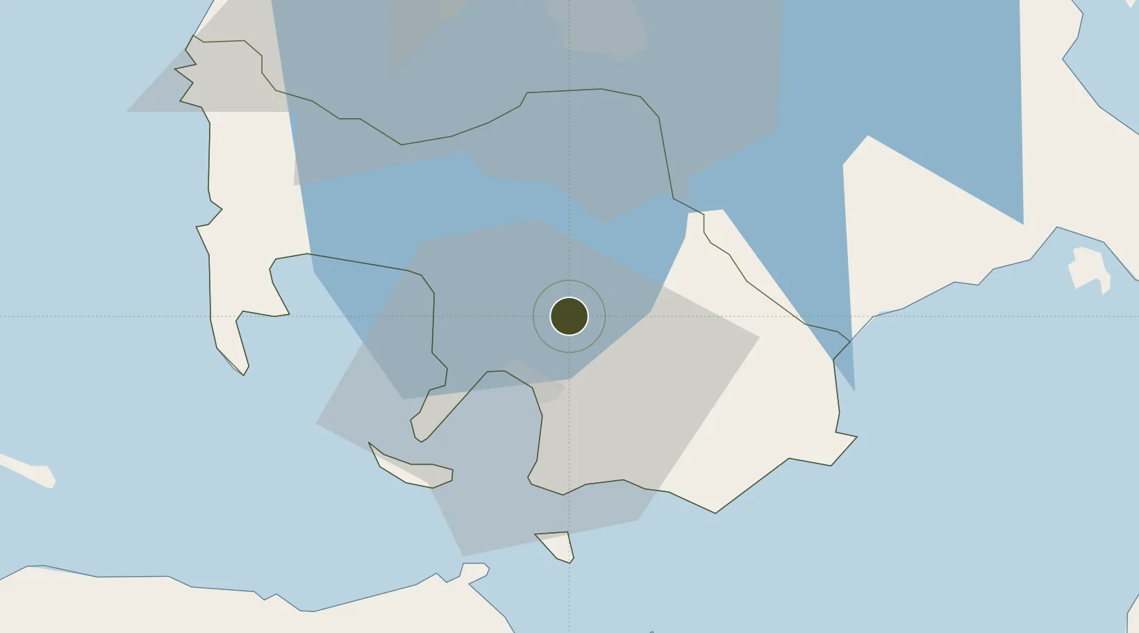
13.8523°, 121.0882°
8 ha
Zone area
12.1 km
Nearest port
73.4 km
Nearest airport

Gateway access

Nearest neighbours — logibook spatial index (haversine) over the source coordinates

Zone profile

Zone type
Specialized Zone
Open Zone Map
Specialization
Agriculture
Open Zone Map
Region
Batangas
Open Zone Map
Status
Under Development
Open Zone Map
Management
Private
Open Zone Map
Operator
Nusselt Industries Corporation
Open Zone Map
Legal framework
Special Economic Zone Act (Republic Act No. 7916) (as amended by Republic Act No. 8748)
Open Zone Map

Location

Location of ozm-3344
Natural Earth 10m (public domain) · Batangas · ozm-3344 · 13.85, 121.09GoogleOSMYandex

Nearby Logistics Neighbours

Ports
  1. 1Batangas City12 km
  2. 2Calapan50 km
  3. 3Nasugbu57 km
  4. 4Manila82 km
  5. 5Mariveles92 km
Nearest neighbours — logibook spatial index (haversine) over the source coordinates
Airports
  1. 1Ninoy Aquino International Airport73 km
  2. 2Danilo Atienza Air Base74 km
  3. 3Mamburao Airport89 km
  4. 4Marinduque Airport97 km
  5. 5Lubang Airport106 km
Nearest neighbours — logibook spatial index (haversine) over the source coordinates
Cities
  1. 1Batangas/Luzon5 km
  2. 2Bauan/Batangas11 km
  3. 3Tanauan25 km
  4. 4Candelaria36 km
  5. 5Canlubang41 km
Nearest neighbours — logibook spatial index (haversine) over the source coordinates
Trade Zones
  1. 1Paraiso Village Development Project4 km
  2. 2Xentromall Batangas5 km
  3. 3BatStateU Knowledge, Innovation and Science Technology Park8 km
  4. 4Batangan Information Technology Center10 km
  5. 5NUCITI Central Mall11 km
Nearest neighbours — logibook spatial index (haversine) over the source coordinates
DatabookThe Record of Consolidated Knowledge
Philippines beyond logistics?
Browse databook

All Sources

Trade ZonesOpen Zone Map
CC BY
Portsthe NGA World Port Index
Public domain (US gov)
AirportsOurAirports
Public domain
LocationsUN/LOCODE
UN/LOCODE — free
← Philippines trade zones