Diversified Zone · China

Gansu Longxi Economic Development Zone Active
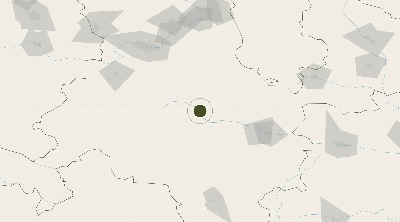
34.9570°, 104.6982°
240 ha
Zone area
1,018.9 km
Nearest port
87.6 km
Nearest airport

Gateway access

Nearest neighbours — logibook spatial index (haversine) over the source coordinates

Zone profile

Zone type
Diversified Zone
Open Zone Map
Region
Gansu
Open Zone Map
Status
Active
Open Zone Map
Management
Public
Open Zone Map
Operator
Gansu Longxi Economic Development Zone Management Committee
Open Zone Map
Legal framework
It was founded in 1992 and approved by the Provincial Planning Commission[No.252] in 1996.
Open Zone Map

Location

Location of ozm-387
Natural Earth 10m (public domain) · Gansu · ozm-387 · 34.96, 104.70GoogleOSMYandex

Nearby Logistics Neighbours

Ports
  1. 1Hankow1019 km
  2. 2Tianjin Xin Gang1248 km
  3. 3Lanshan1335 km
  4. 4Nanjing1340 km
  5. 5Lianyungang1345 km
Nearest neighbours — logibook spatial index (haversine) over the source coordinates
Airports
  1. 1Lintao Air Base88 km
  2. 2Tianshui Maijishan Airport115 km
  3. 3Lanzhou Air Base115 km
  4. 4Longnan Chengzhou Airport164 km
  5. 5Guyuan Liupanshan Airport186 km
Nearest neighbours — logibook spatial index (haversine) over the source coordinates
Cities
  1. 1Dingxi68 km
  2. 2Tianshui103 km
  3. 3Lanzhou145 km
  4. 4Gaolan166 km
  5. 5Bayin183 km
Nearest neighbours — logibook spatial index (haversine) over the source coordinates
DatabookThe Record of Consolidated Knowledge
China beyond logistics?
Browse databook

All Sources

Trade ZonesOpen Zone Map
CC BY
Portsthe NGA World Port Index
Public domain (US gov)
AirportsOurAirports
Public domain
LocationsUN/LOCODE
UN/LOCODE — free
← China trade zones