Medium airport · China

Tianshui Maijishan AirportZLTS
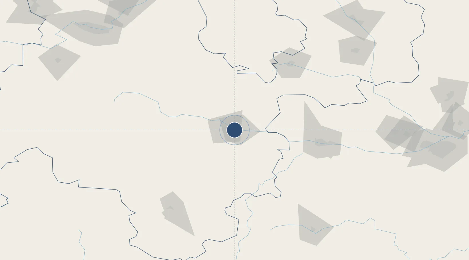
34.5601°, 105.8603°
9,186 ft
Longest runway
1
Runways
3,590 ft
Elevation

Runway & Layout

Tianshui Maijishan Airport runway & taxiway layout
Runway & taxiway layout — OpenStreetMap (ODbL) / OurAirports

Runways · 1

RunwayDimensions SurfaceTrue headingLit
10/28 9,186 × 148ft
OurAirports

Airport Specifications

IATA code
THQ
OurAirports
ICAO code
ZLTS
OurAirports
Airport class
Medium airport
OurAirports
Scheduled service
Yes
OurAirports
Served city
Tianshui (Maiji)
OurAirports

Location

Location of ZLTS
Natural Earth 10m (public domain) · Gansu · ZLTS · 34.56, 105.86GoogleOSMYandex

Nearby Logistics Neighbours

Airports
  1. 1Longnan Chengzhou Airport86 km
  2. 2Baoji Air Base148 km
  3. 3Guyuan Liupanshan Airport172 km
  4. 4Hanzhong Chenggu Airport201 km
  5. 5Lintao Air Base202 km
Nearest neighbours — logibook spatial index (haversine) over the source coordinates
Cities
  1. 1Tianshui13 km
  2. 2Baoji120 km
  3. 3Dingxi159 km
  4. 4Xingping243 km
  5. 5Lanzhou248 km
Nearest neighbours — logibook spatial index (haversine) over the source coordinates
Ports
  1. 1Hankow904 km
  2. 2Tianjin Xin Gang1172 km
  3. 3Nanjing1228 km
  4. 4Lanshan1233 km
  5. 5Lianyungang1242 km
Nearest neighbours — logibook spatial index (haversine) over the source coordinates
DatabookThe Record of Consolidated Knowledge
China beyond logistics?
Browse databook

All Sources

AirportsOurAirports
Public domain
Portsthe NGA World Port Index
Public domain (US gov)
LocationsUN/LOCODE
UN/LOCODE — free
Trade Zonesthe World Bank SEZ database
CC BY 4.0
Trade ZonesOpen Zone Map
CC BY
InfrastructureOpenStreetMap
ODbL 1.0
← China airports